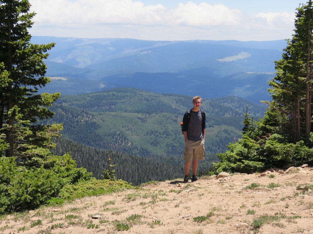
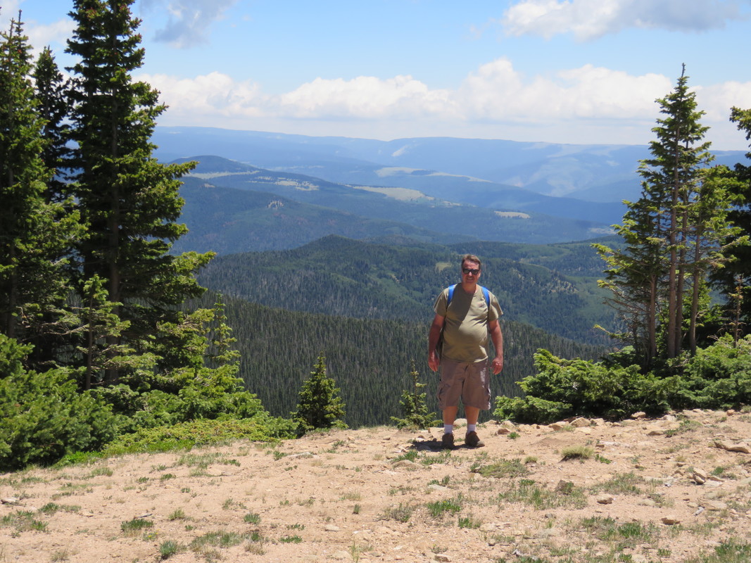
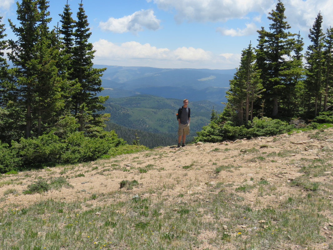
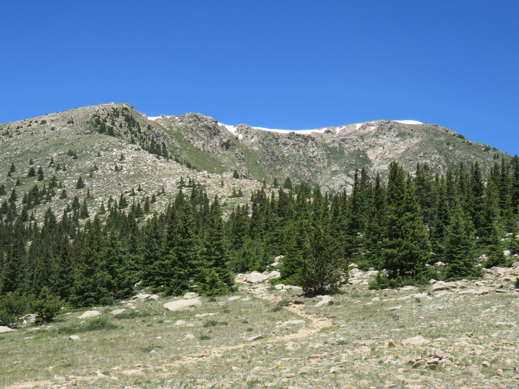
We traveled to South Dakota to see Denise’s folks.
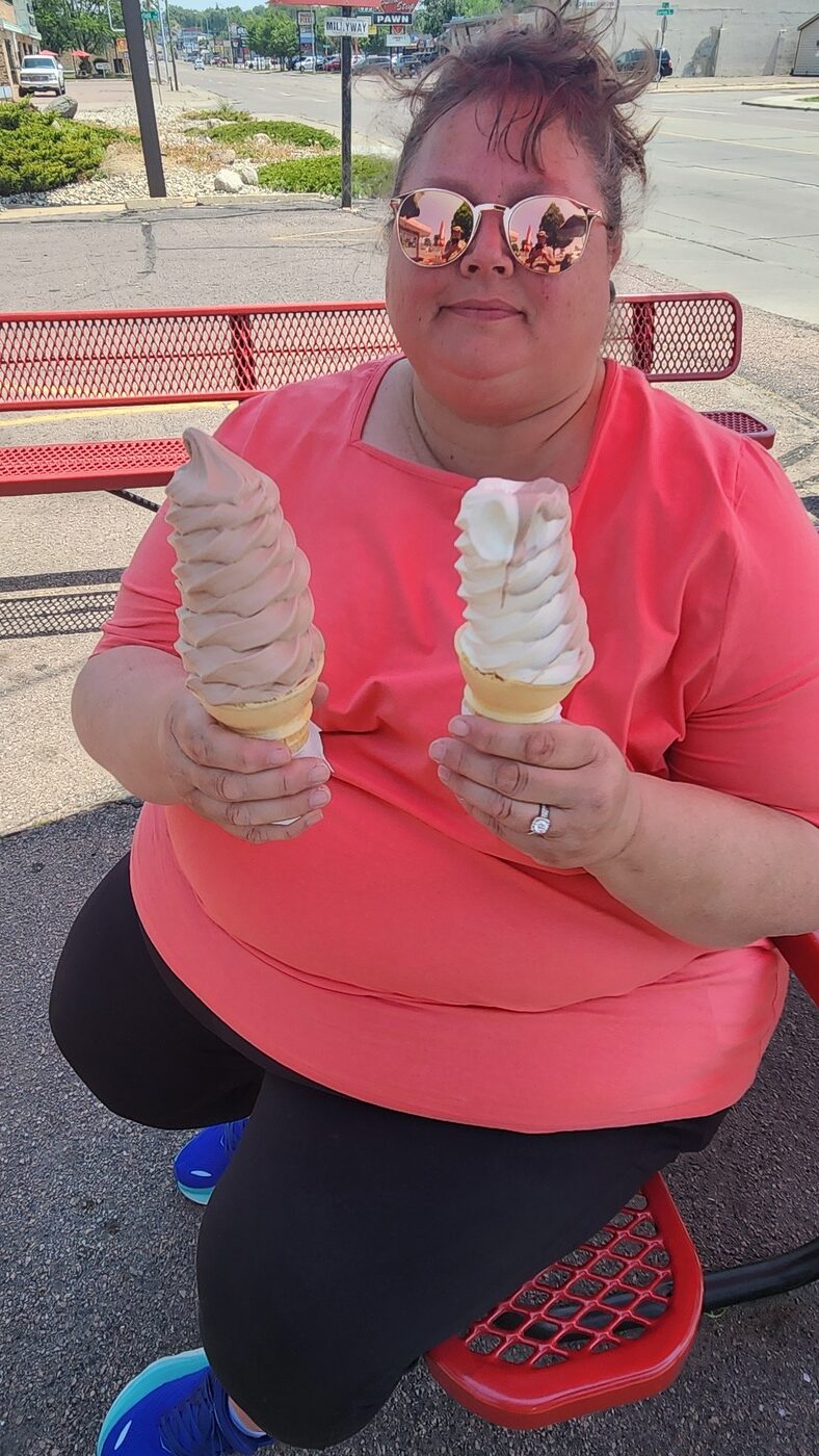
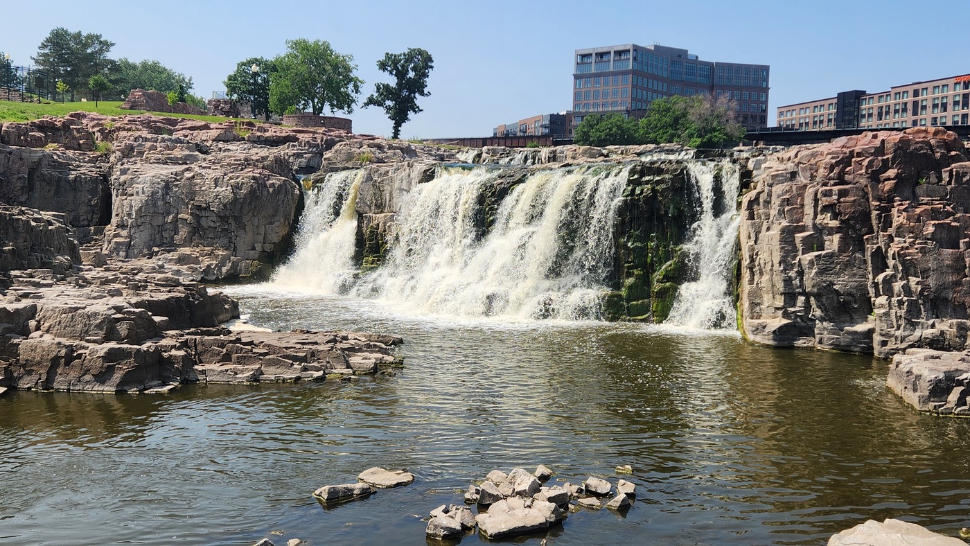
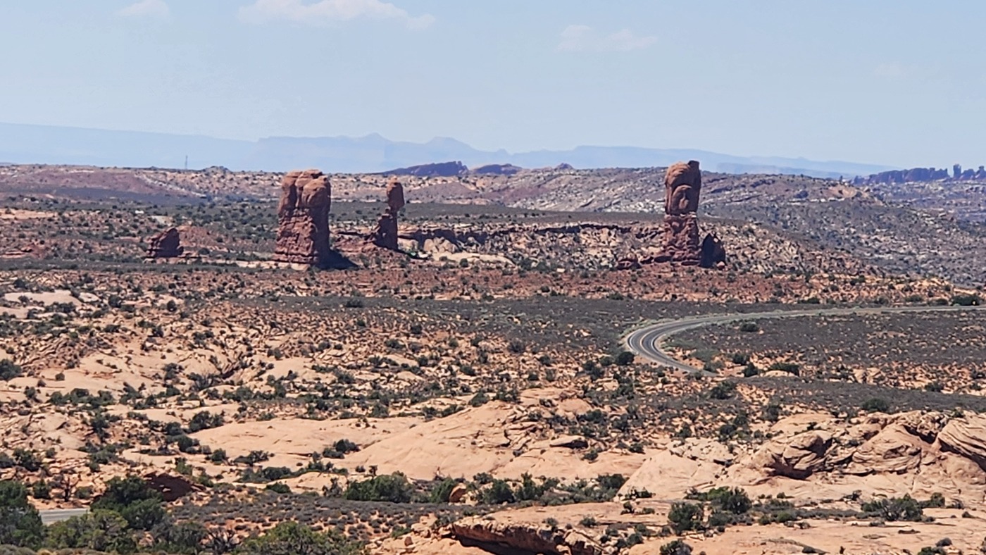
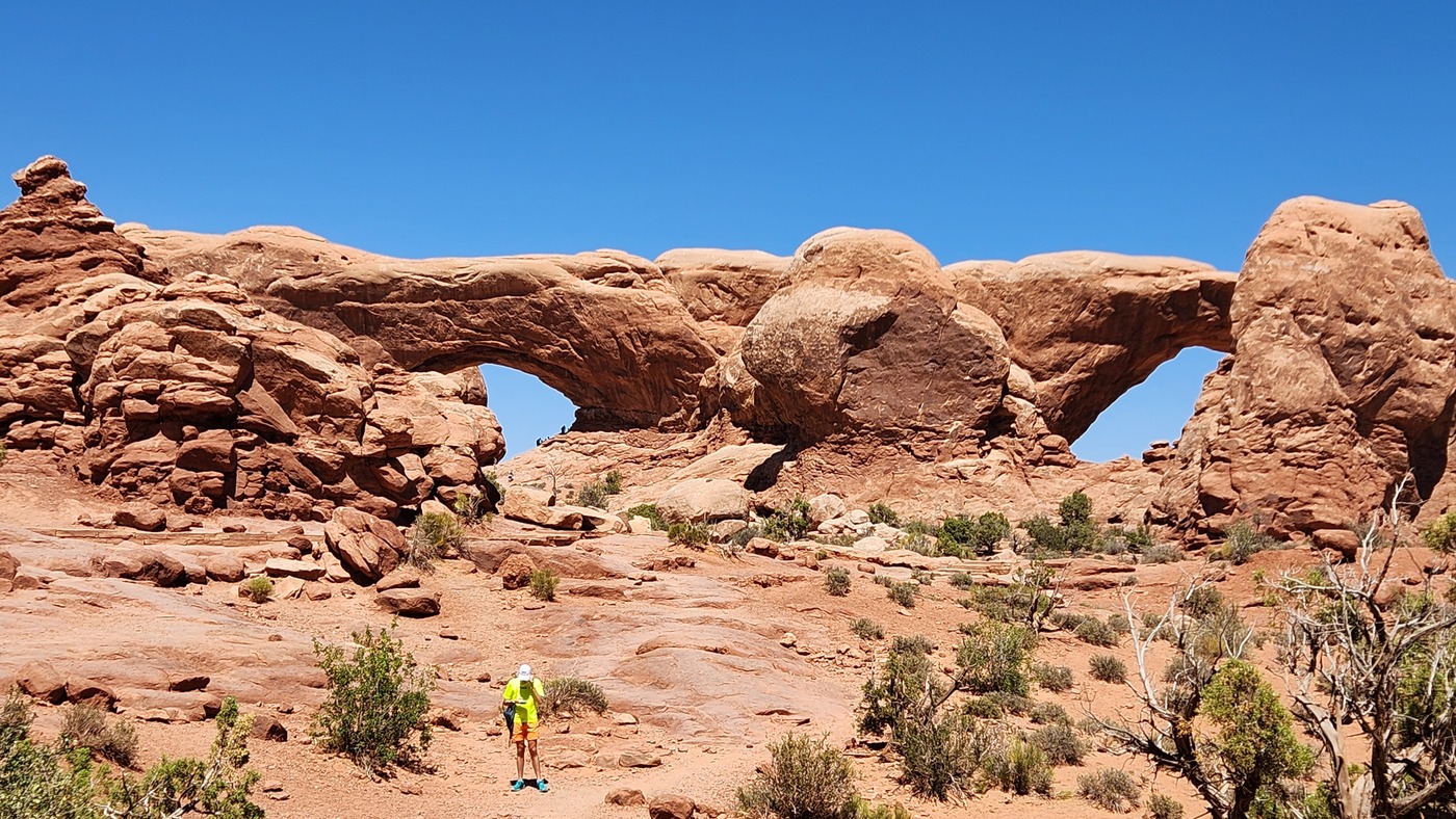
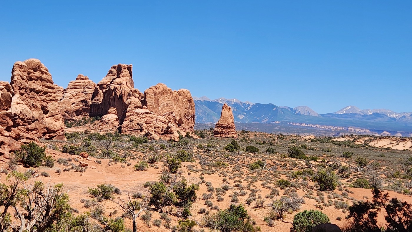
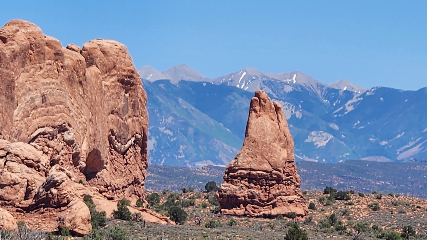
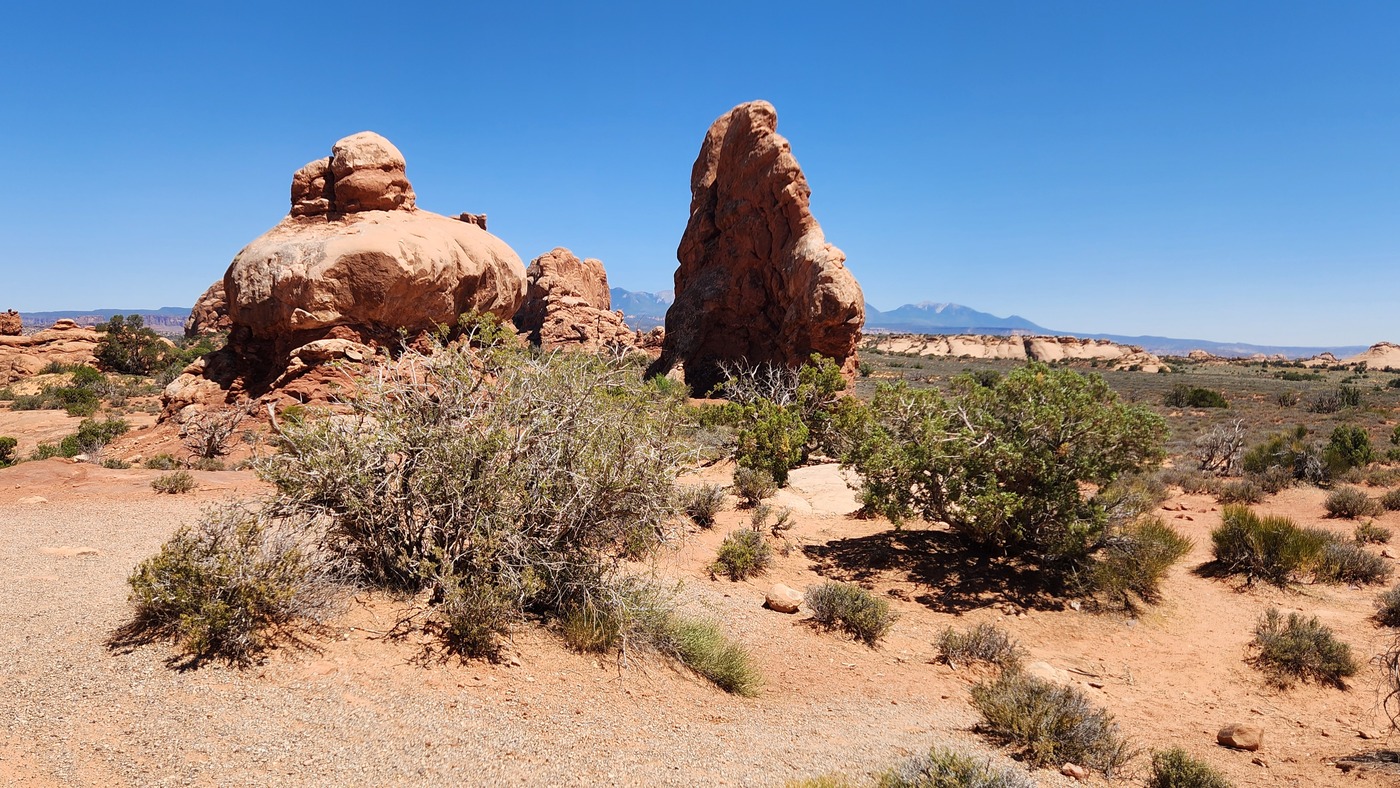
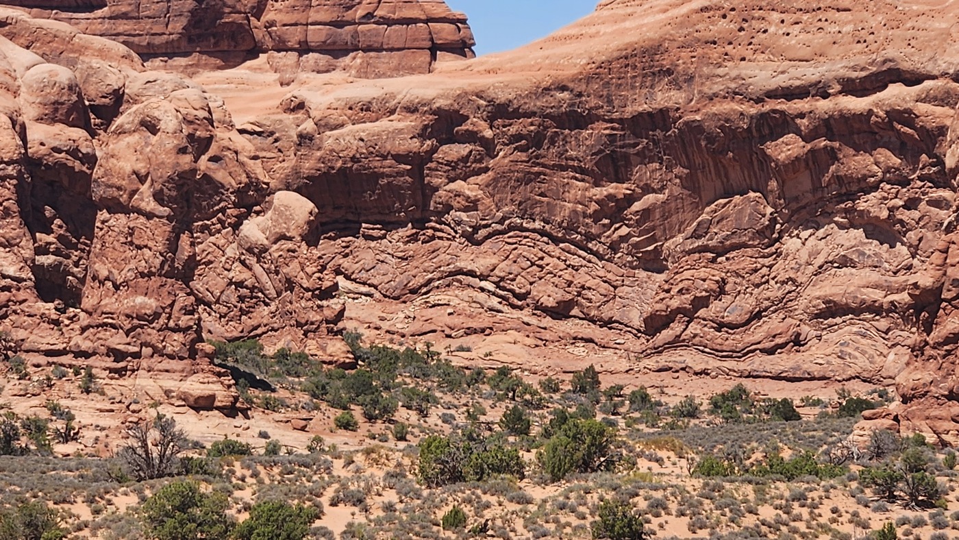
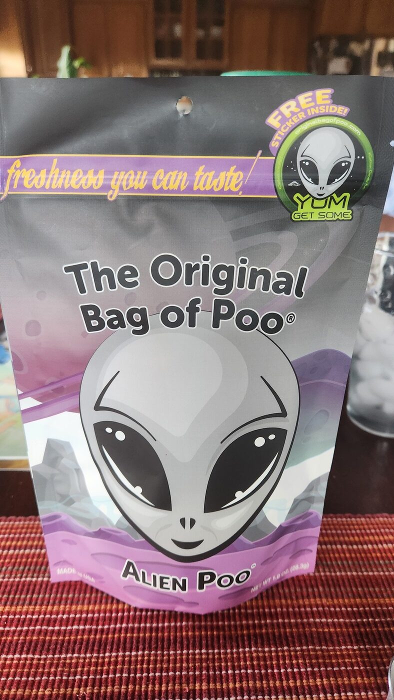
We traveled to South Dakota to see Denise’s folks.
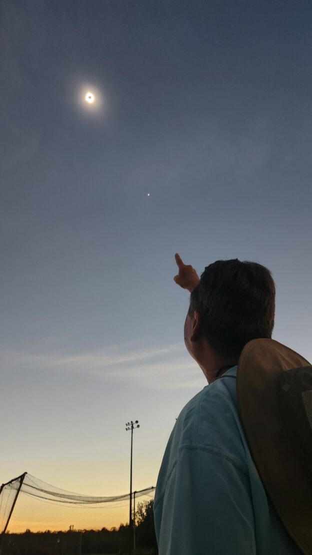
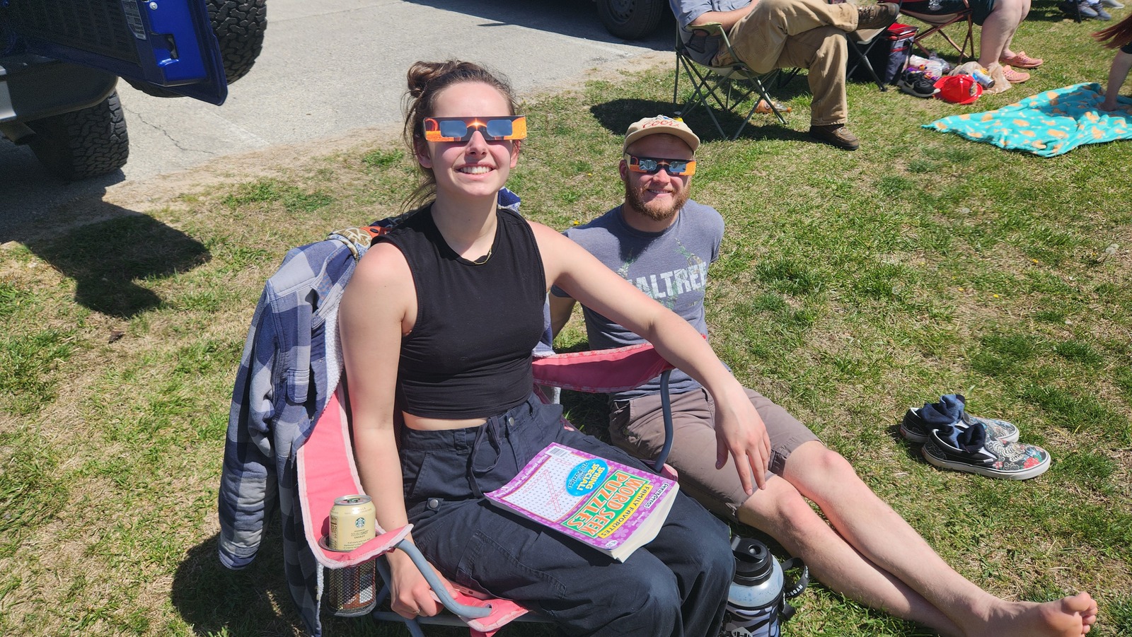
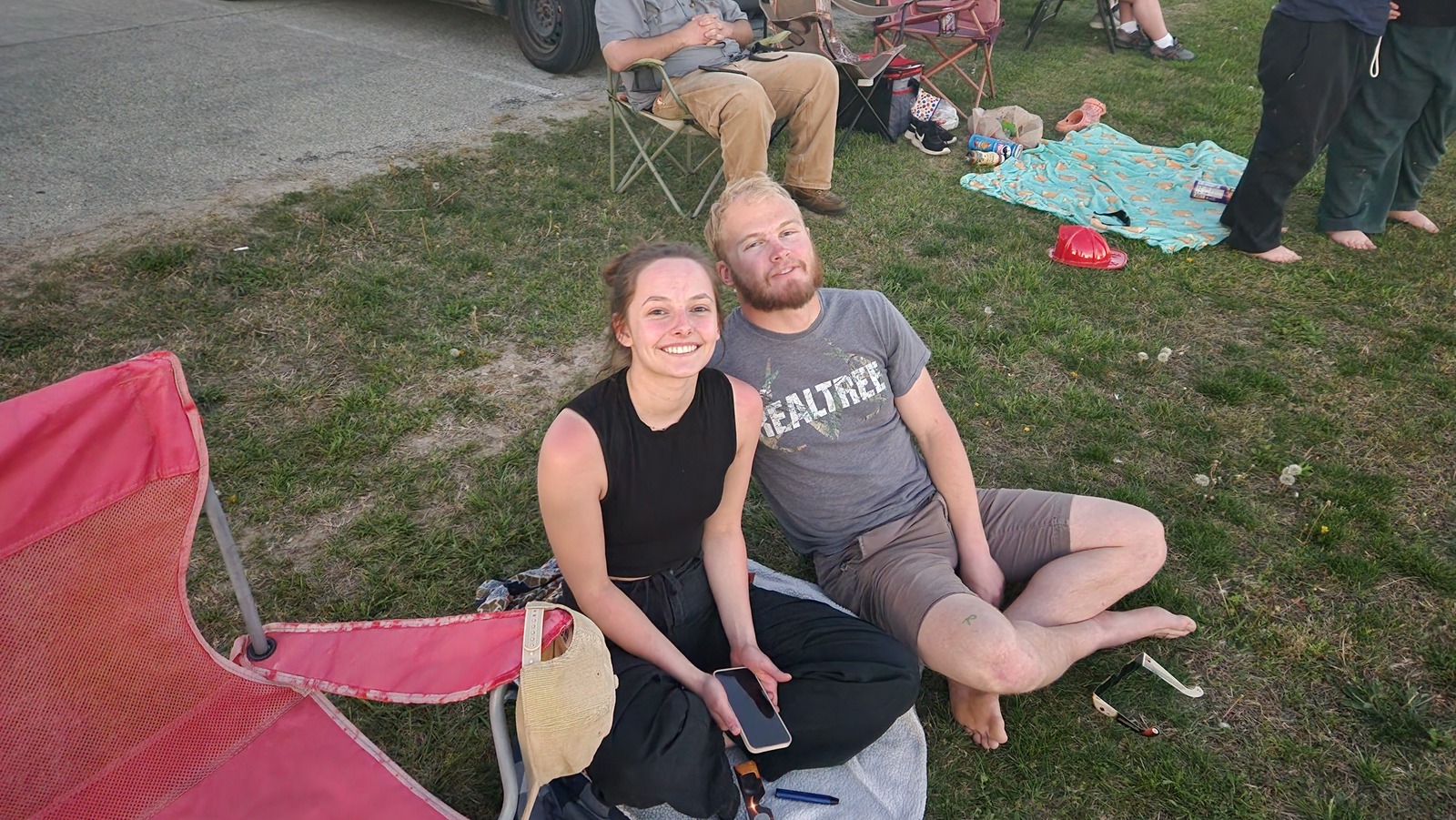
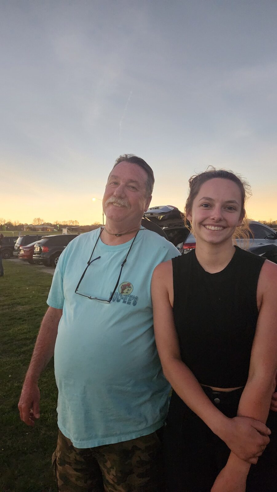
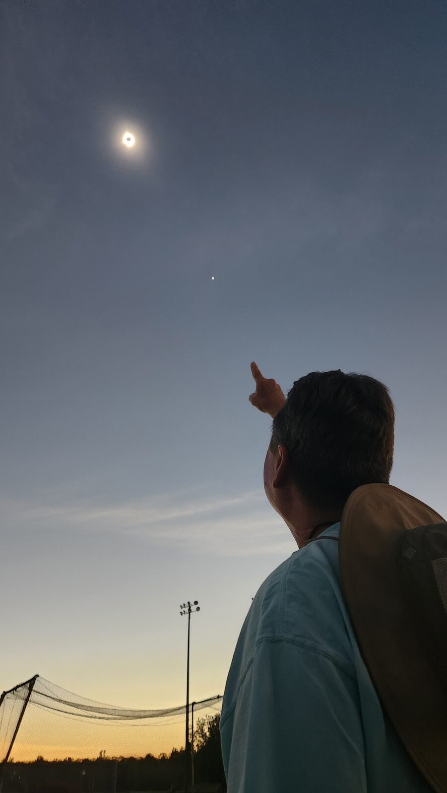
Me, Rose and Jack went to see the total solar eclipse. The original plan was to go to south Texas, but the sky coverage prediction map showed that overcast skies were likely. It showed that the best chance of clear skies was in SE Missouri. So we left on Saturday from Los Alamos NM and arrived in Springfield MO on Sunday. The sky cover map then showed mostly clear skies for northern Arkansas. On Monday morning we decided to drive to a small town called Ash Flat in northern Arkansas that was located near the center of totality. This little town was perfect. We located the city park on the way into town, and it was the best place for viewing totality. It wasn’t crowded and there was plenty of room to set up for relaxed viewing. We met interesting people from Arkansas and elsewhere. Totality was amazing. Some high haze cleared completely by noon, so that we had perfect viewing conditions. Totality lasted for about 4 minutes total. I was glad I got to see it since I had never experienced a total eclipse before.
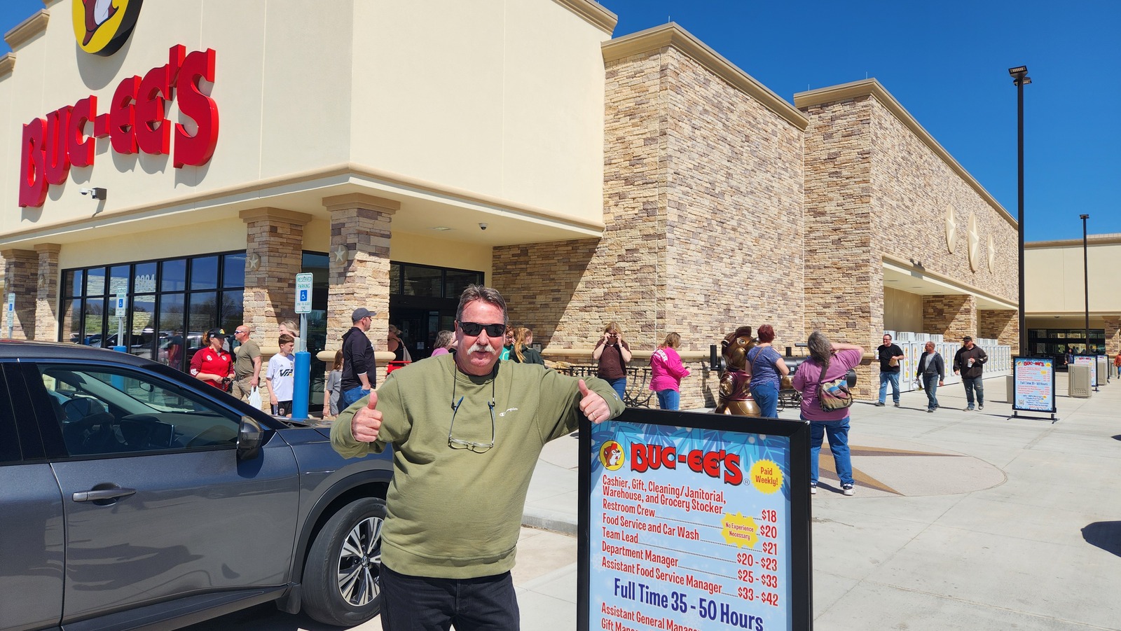
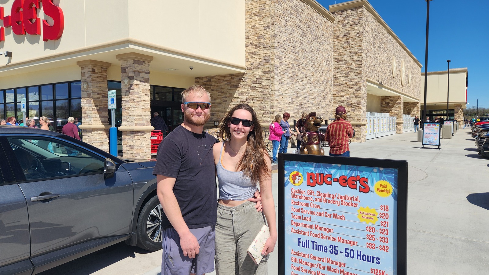
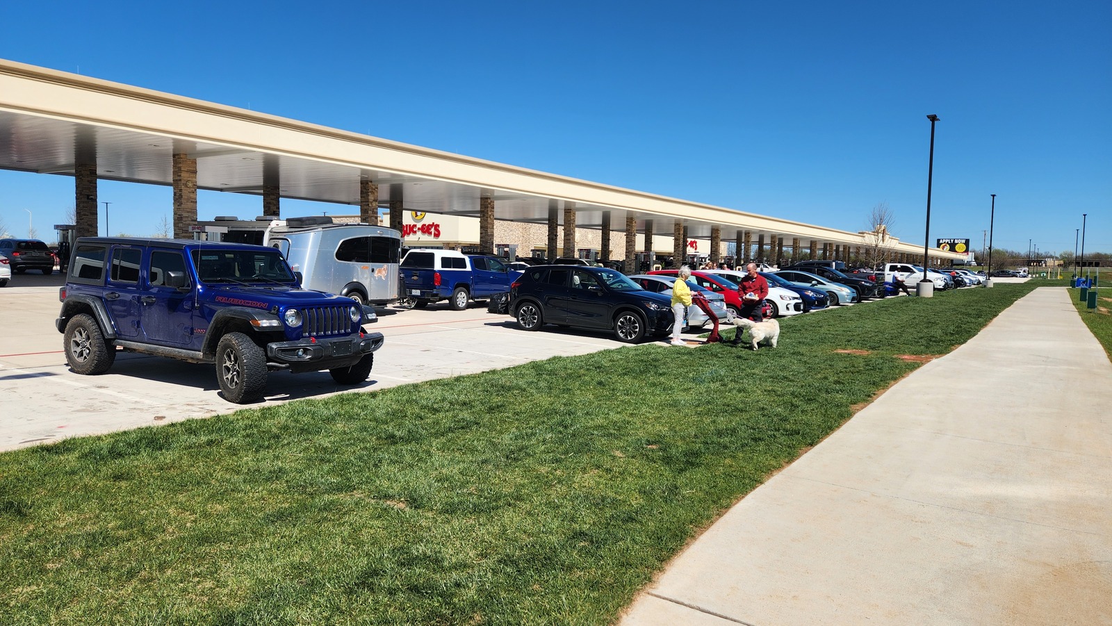
We also enjoyed our time in Springfield, especially when we visited the giant new Buckee’s. Lot’s of fun.
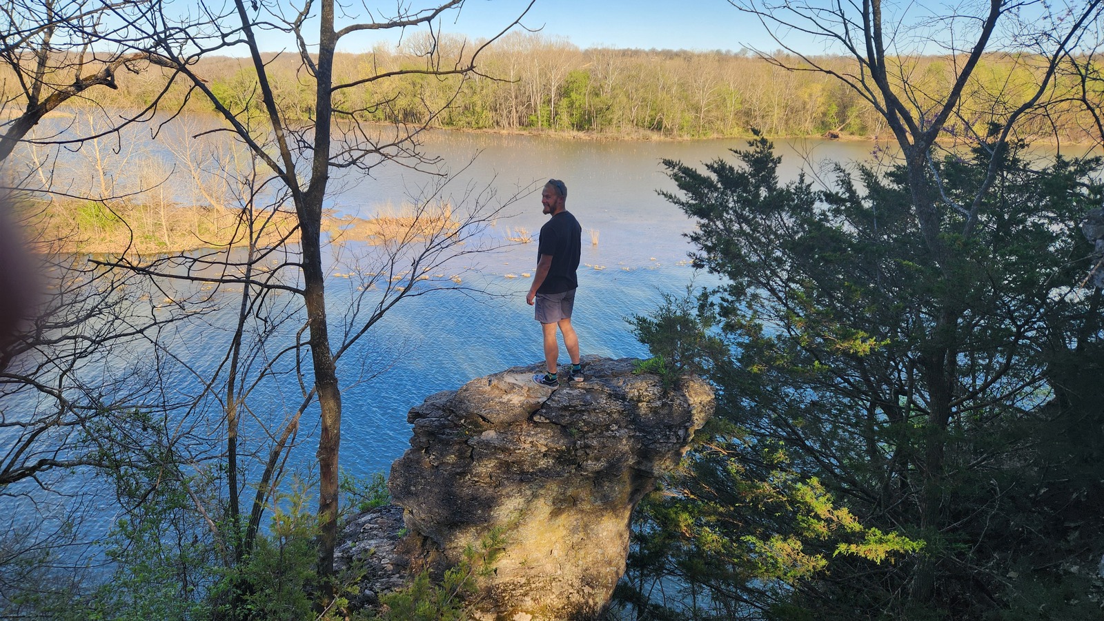
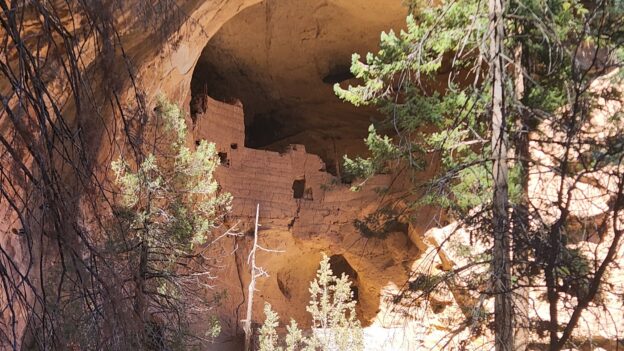
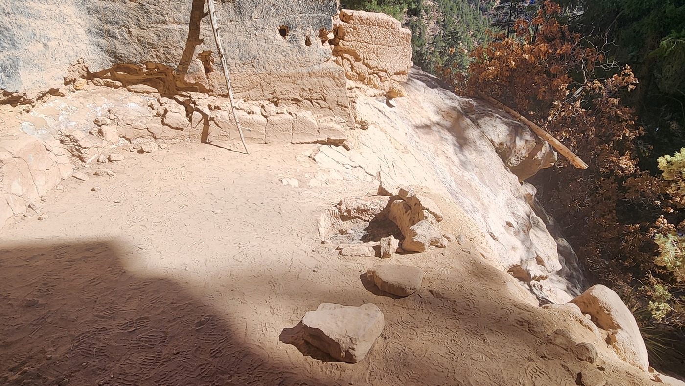
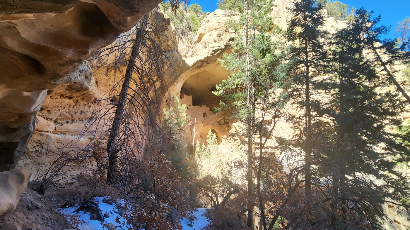
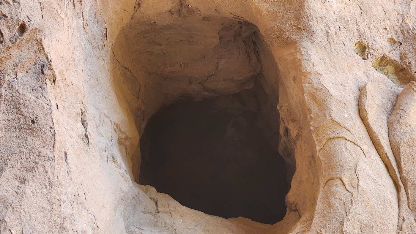
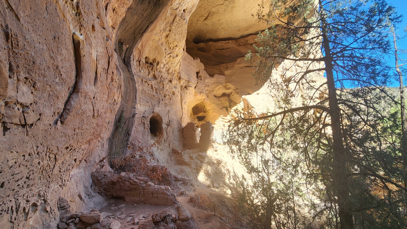
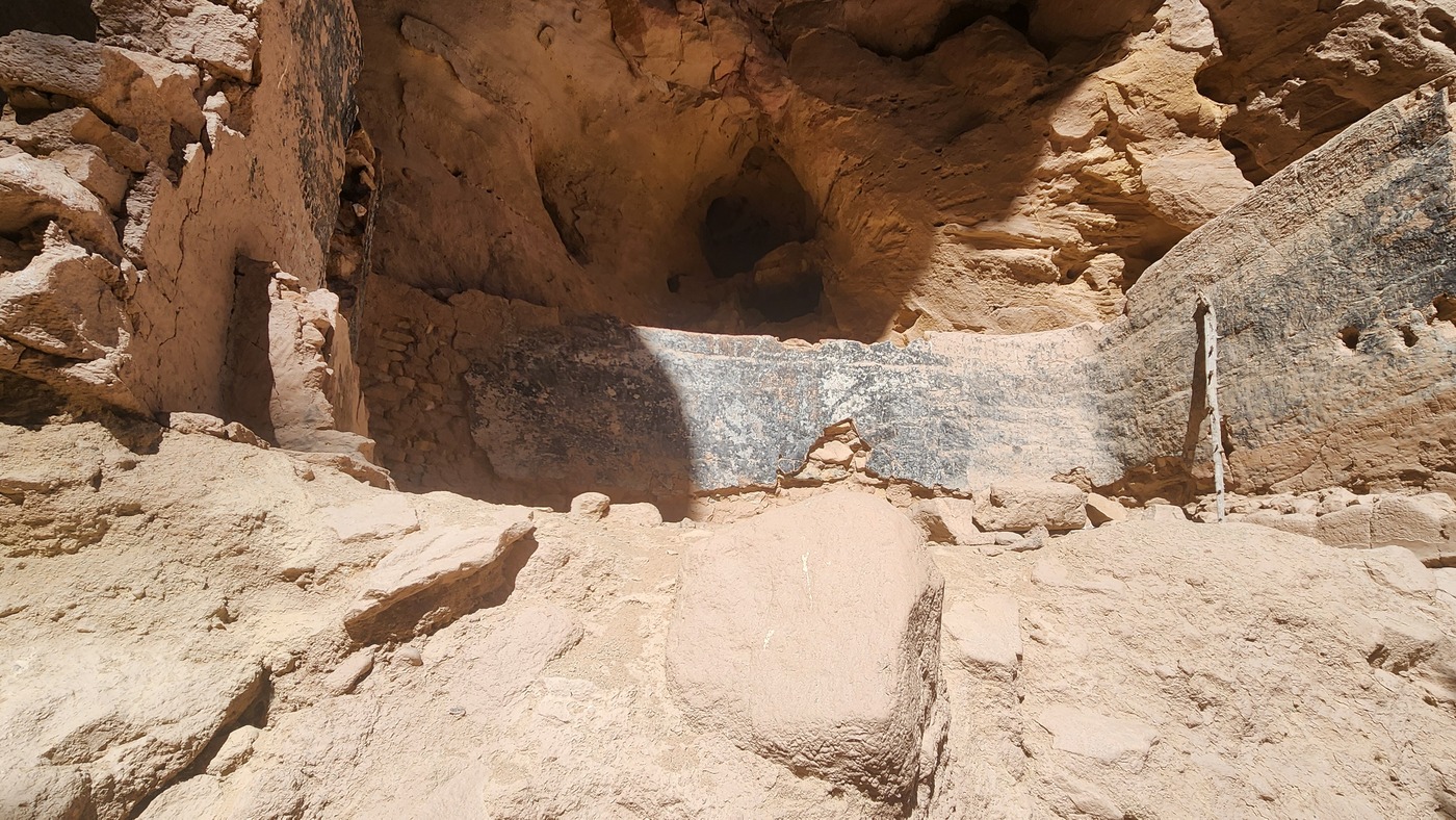
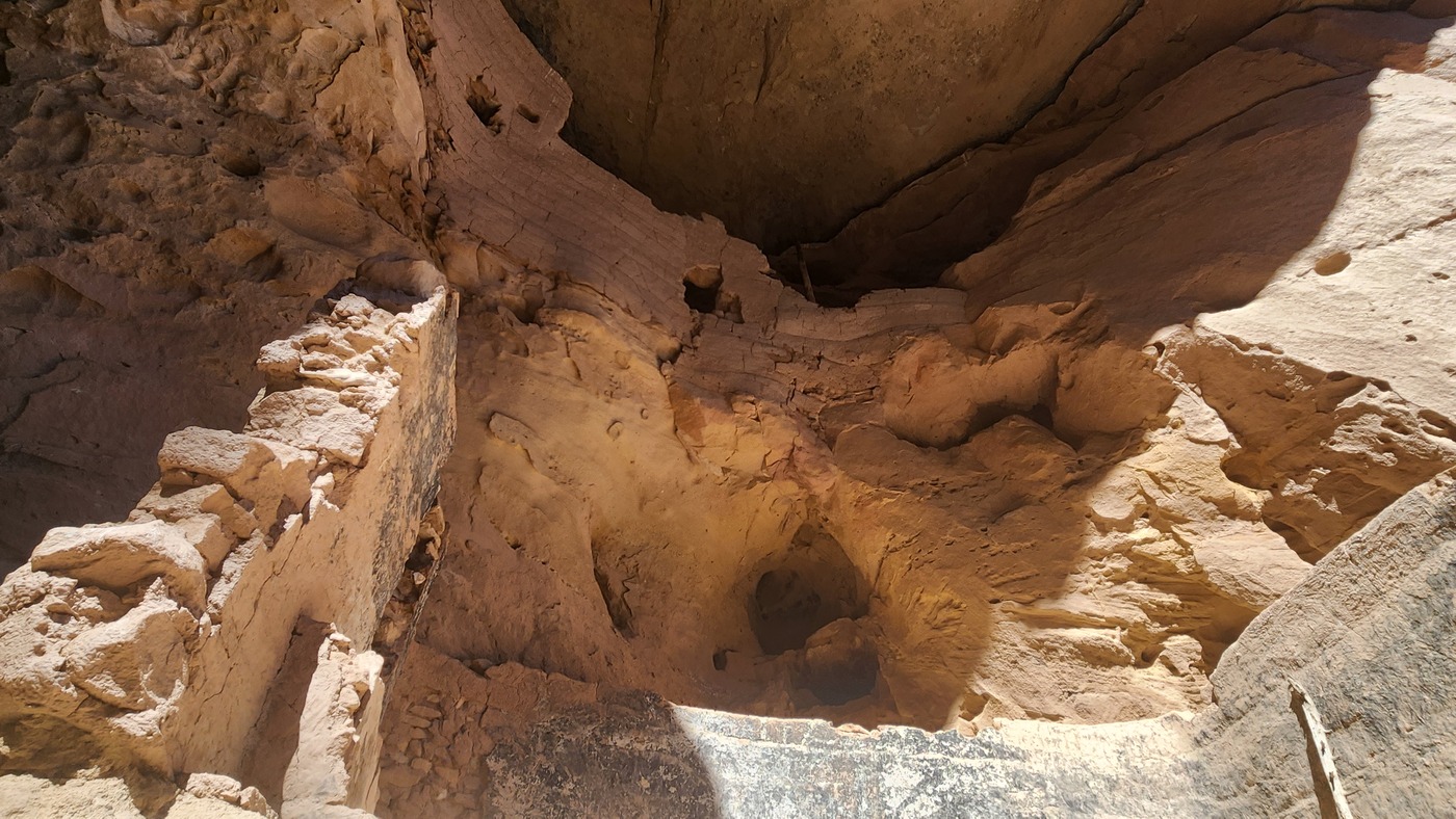
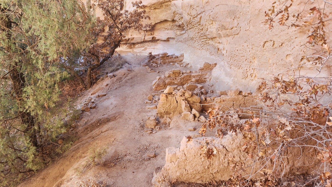
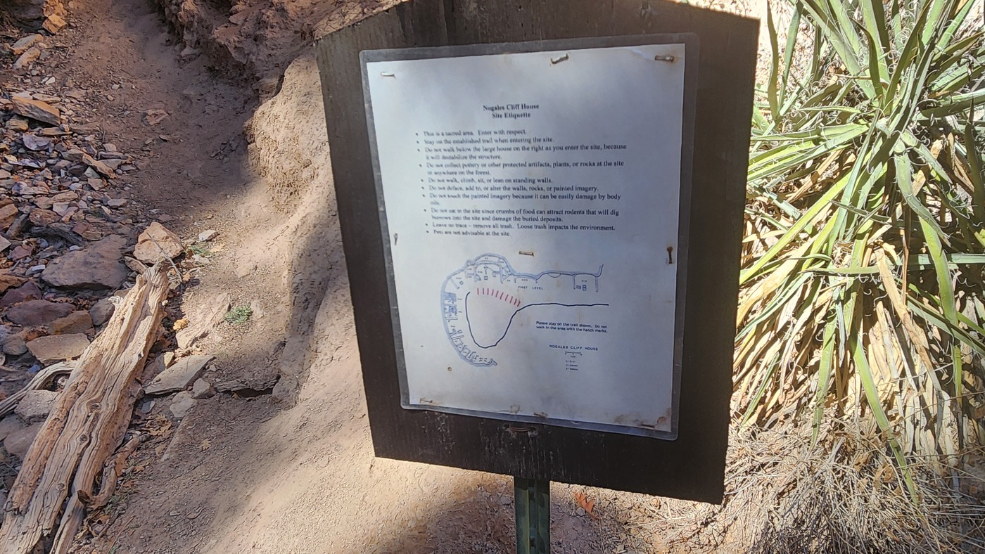
Me and the dog hiked to the Nogales Cliffhouse near Gallina NM. The Gallina people lived in the area from artound 1050 to the 1300s. They were contemporary with the Chacoan people, but seem to be culturally distinct. They mostly lived in pit houses and subsisted on agriculture and game. There is some evidence indicating that many Gallina died in violent encounters with other indigenous groups. There are many towers built along ridges that seem to suggest defensive structures.
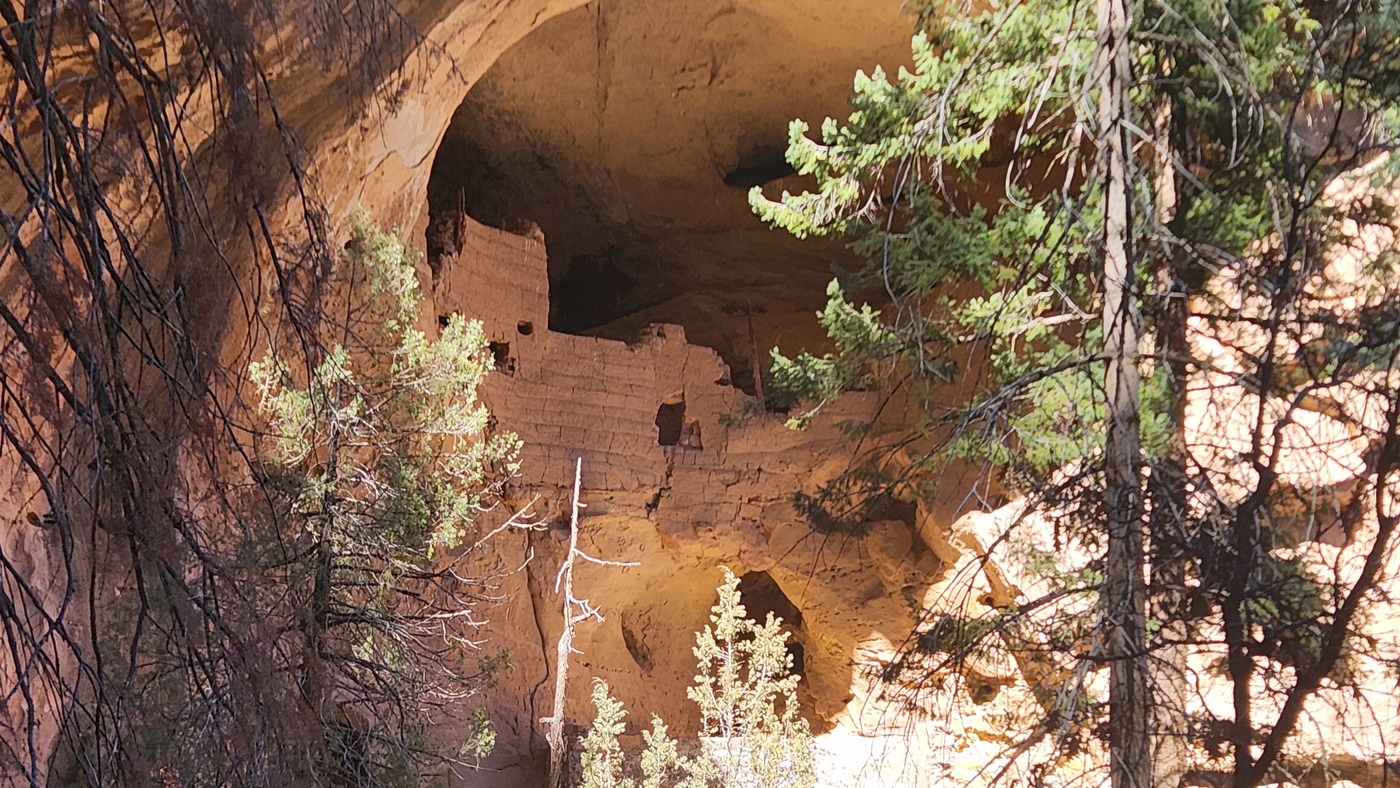
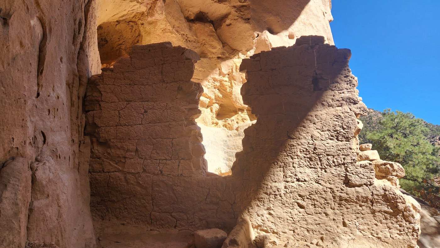
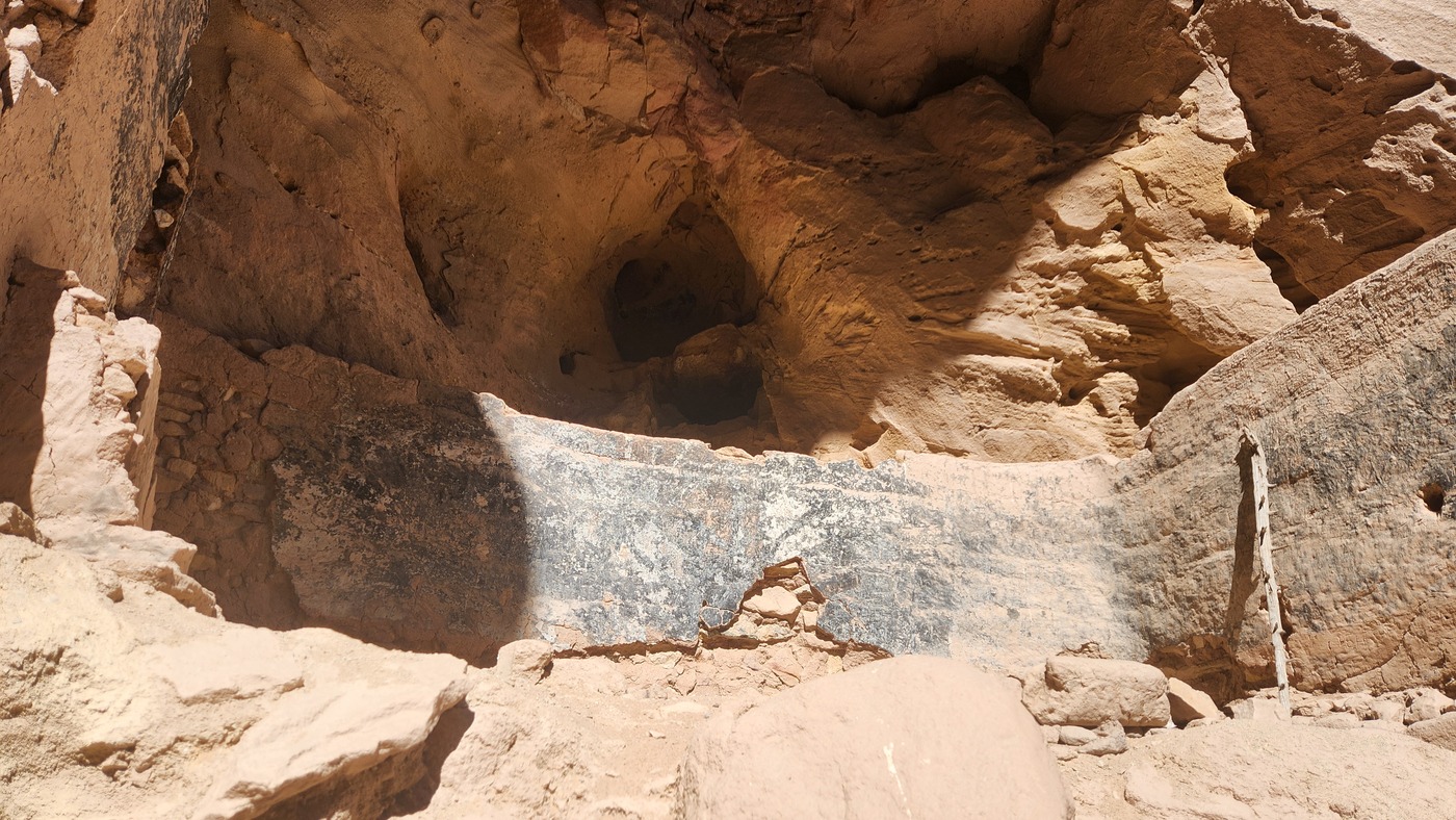
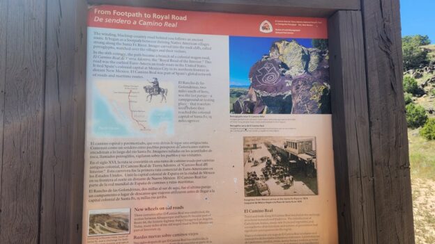
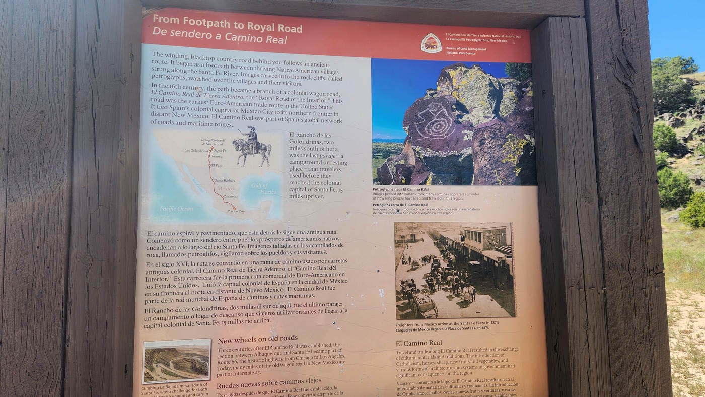
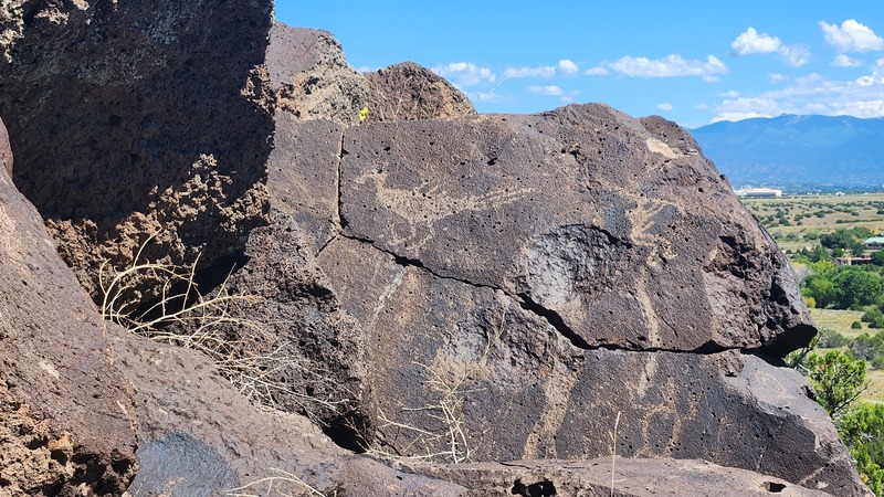
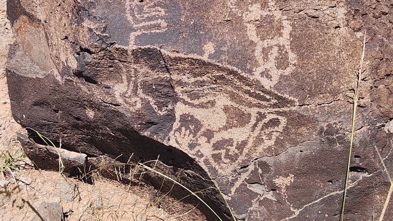
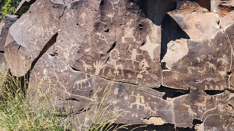
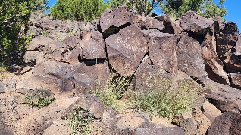
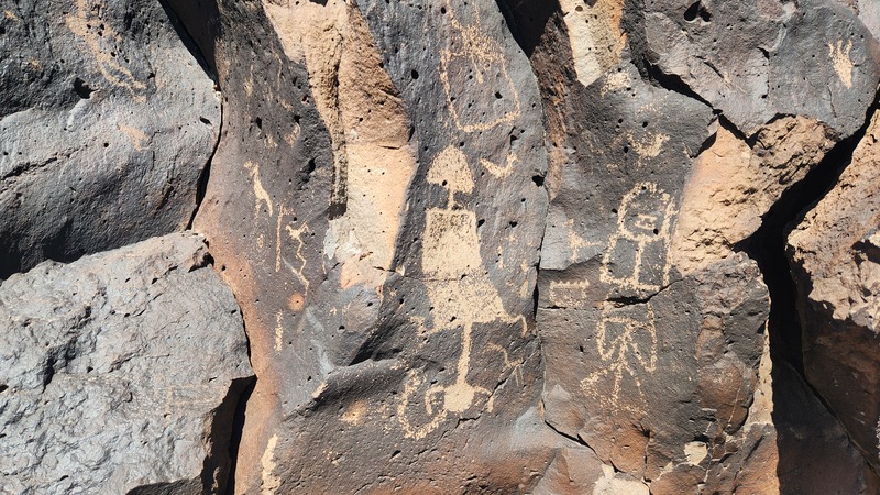
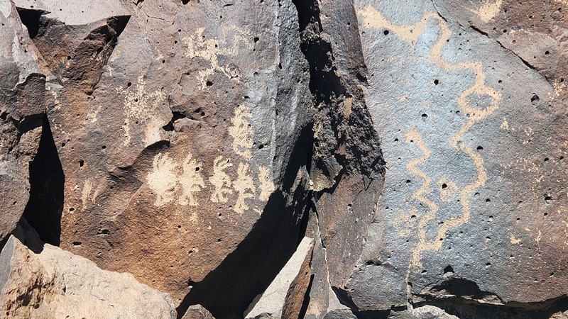
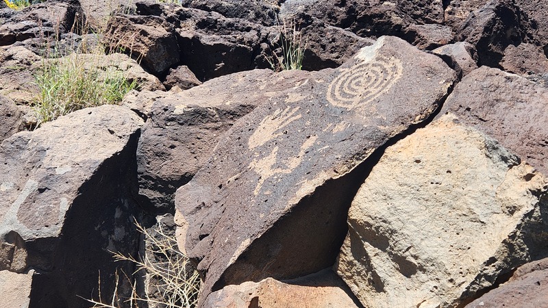
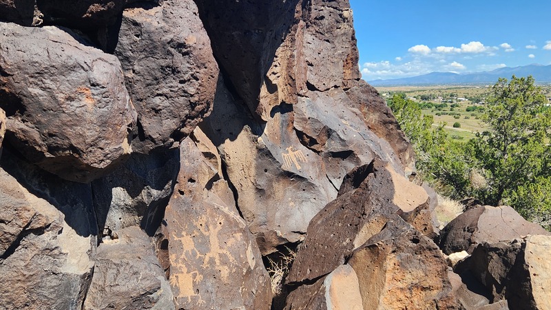
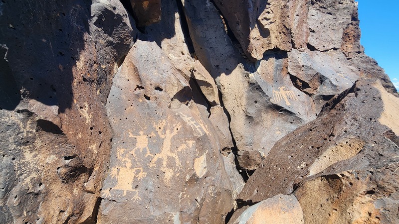
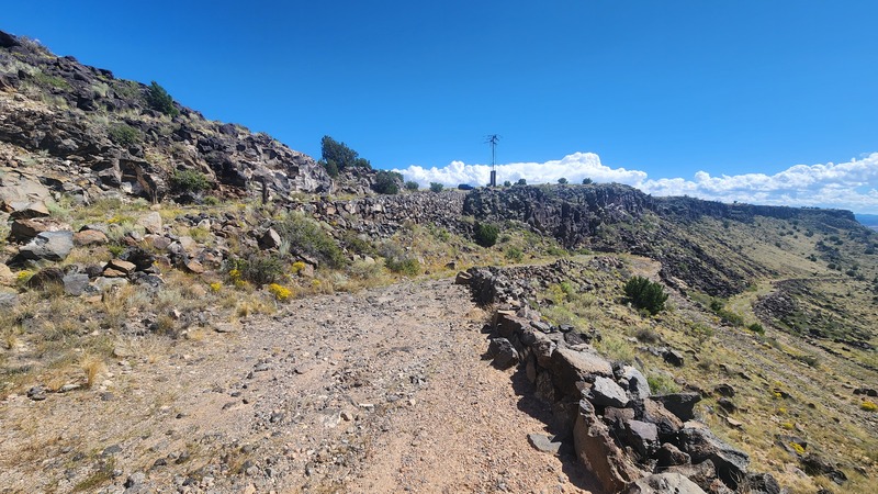
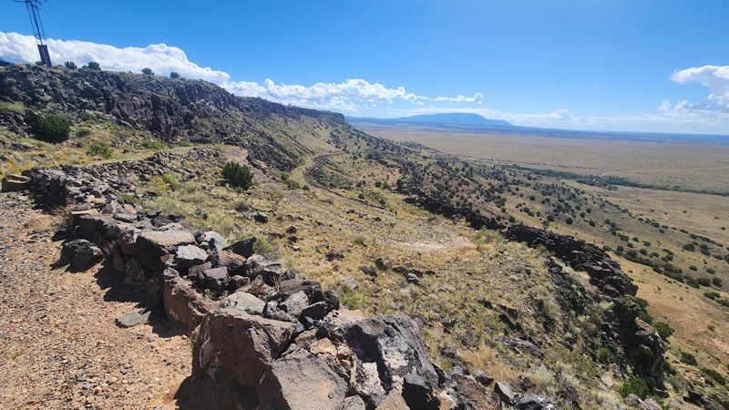
Me and the dog hiked to the Cieneguilla Petroglyphs just southwest of Santa Fe. This rock art is located on the cliffs above the Santa Fe river. These images were probably created between the 13th and 17th centuries by the ancestors of the people from the present day Cochiti and Santo Domingo pueblos. This location is also located close to the El Camino Real de Tierra Adentro which stretched from Mexico City to the Ohkay Owingeh pueblo north of Santa Fe. The old Route 66 that descends the La Bajada hill just to the south followed much of the old Camino Real. Some photos from La Bajada show this particularly treacherous part of the route.
For the summer of 2022 we vacationed in Surfside TX. We rented a house right on the beach. We celebrated Anna’s graduation from Los Alamos high school in 2020. Also Rose’s birthday. Lots of fun.
Anna celebrates.
Rose’s party.
Some seagulls on the ferry ride from Galveston to Bolivar.
Here are some videos of Jeremiah’s 22nd birthday party.
Everybody sing.
Make a wish!!!
Rose’s 20th birthday. Esperanza joined us.
Anna’s 18th birthday.
JD’s 64th birthday.
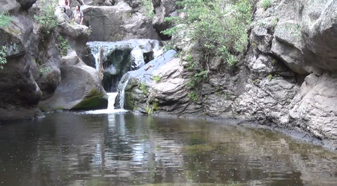
Me and Jeremiah Hiked to the Jemez Box.
The East Fork of the Jemez river is confined to a narrow box canyon for a portion of its course near the Valle Caldera. The canyon is accessible from Trail 137 off of NM 4. The hike down to the river is a spur off the main trail that descends about 400 feet. Much of the descent is made easy by the addition of wooden steps. Be sure to bring some shoes that you don’t mind getting wet since wading the river is the best way to get to the double falls upstream from where the trail spur intersects the river.
Descent down the spur off of East Fork Trail.
Footbridge crossing.
Me and the waterfall.
Waterfall.
Falls at the end of the Las Conchas Trail. The box begins.
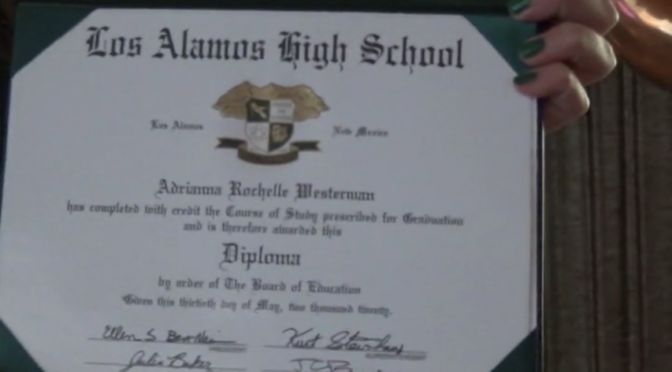
Even though the Seniors from the of class of 2020 didn’t have the opportunity to participate in a traditional ceremony, the Los Alamos School District did come up with a unique way for them to each experience graduation. It was basically a drive thru Diploma ceremony for each student and their families. And then, the entire community turned out for a parade on Diamond Avenue. That was awesome. Anna and her friends really enjoyed that. Here are some videos.
Anna walks.
Anna hat toss.
Anna’s diploma closeup.
Graduate parade 2020.
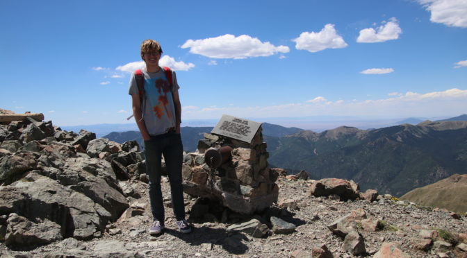
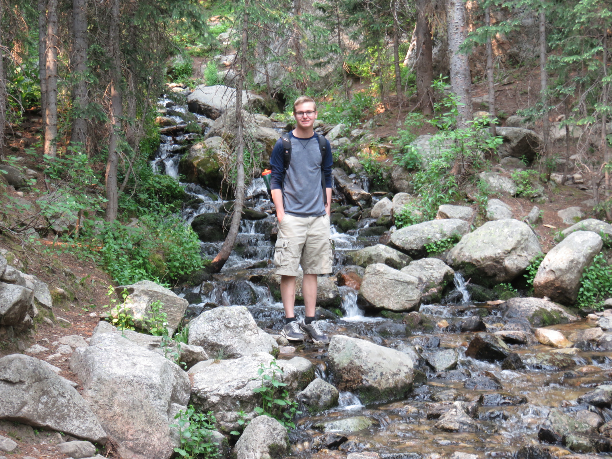
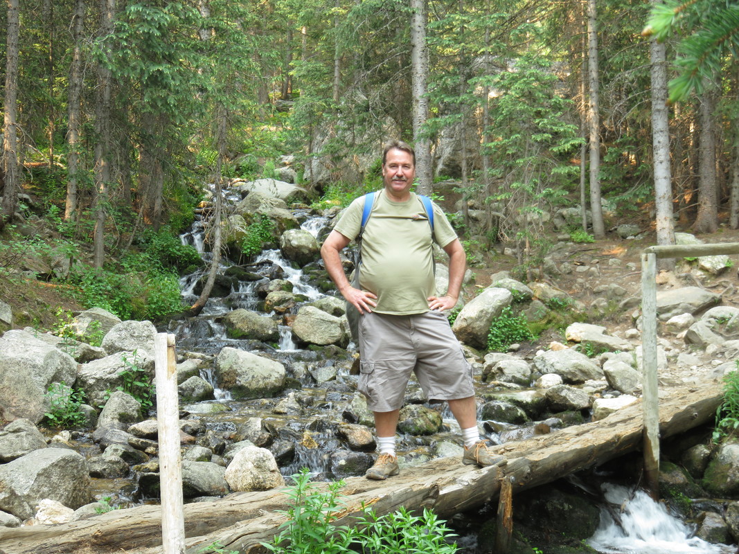
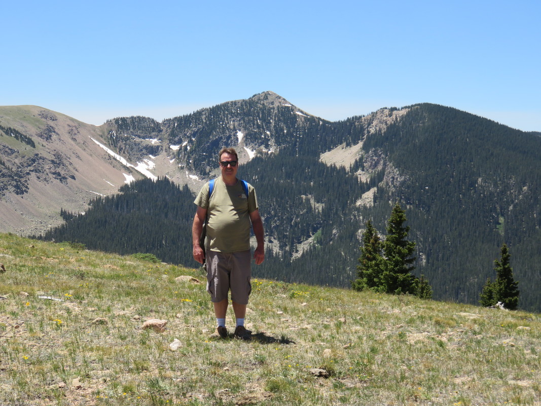
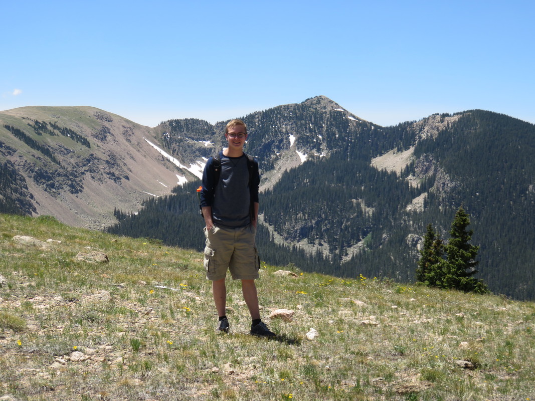
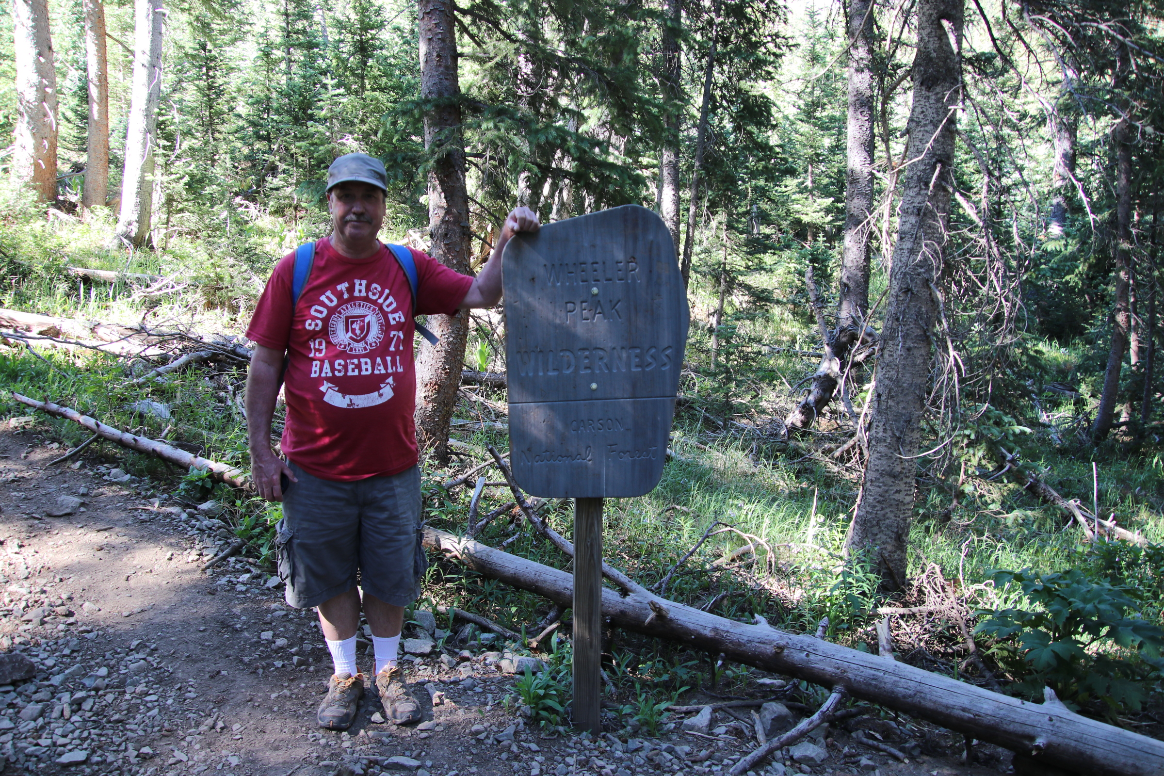
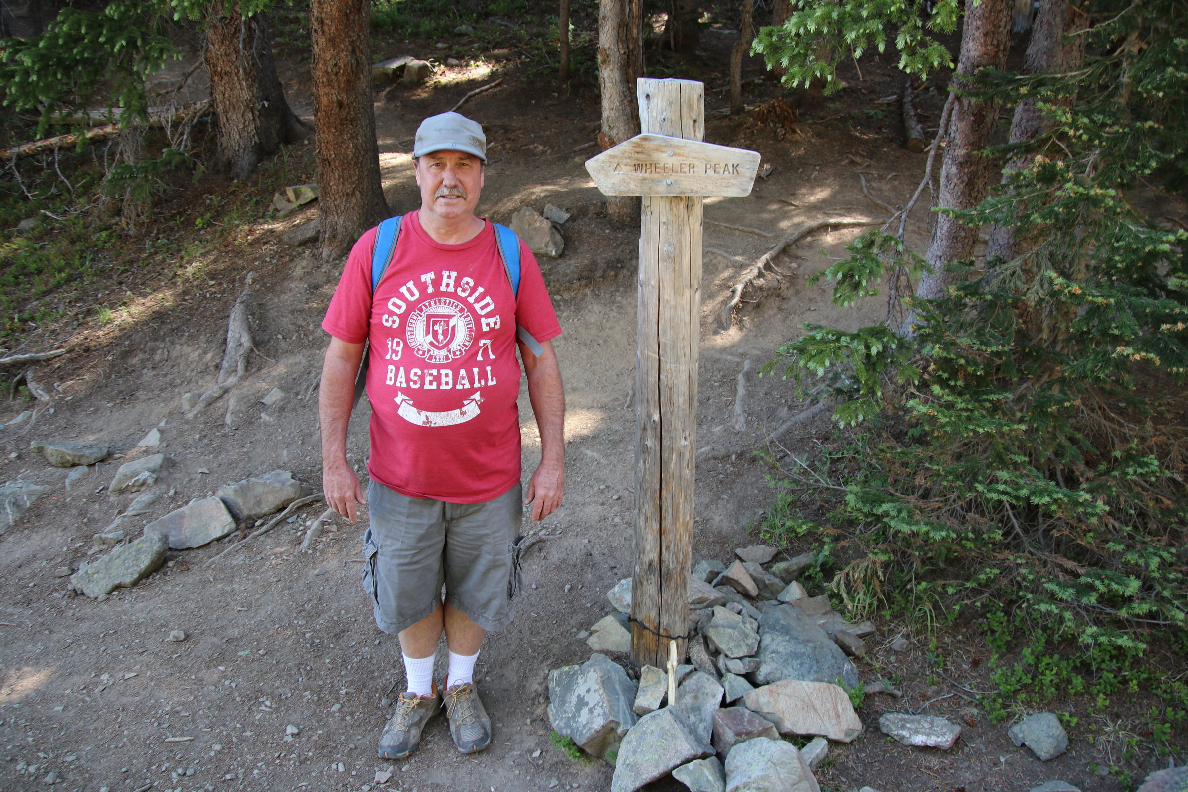
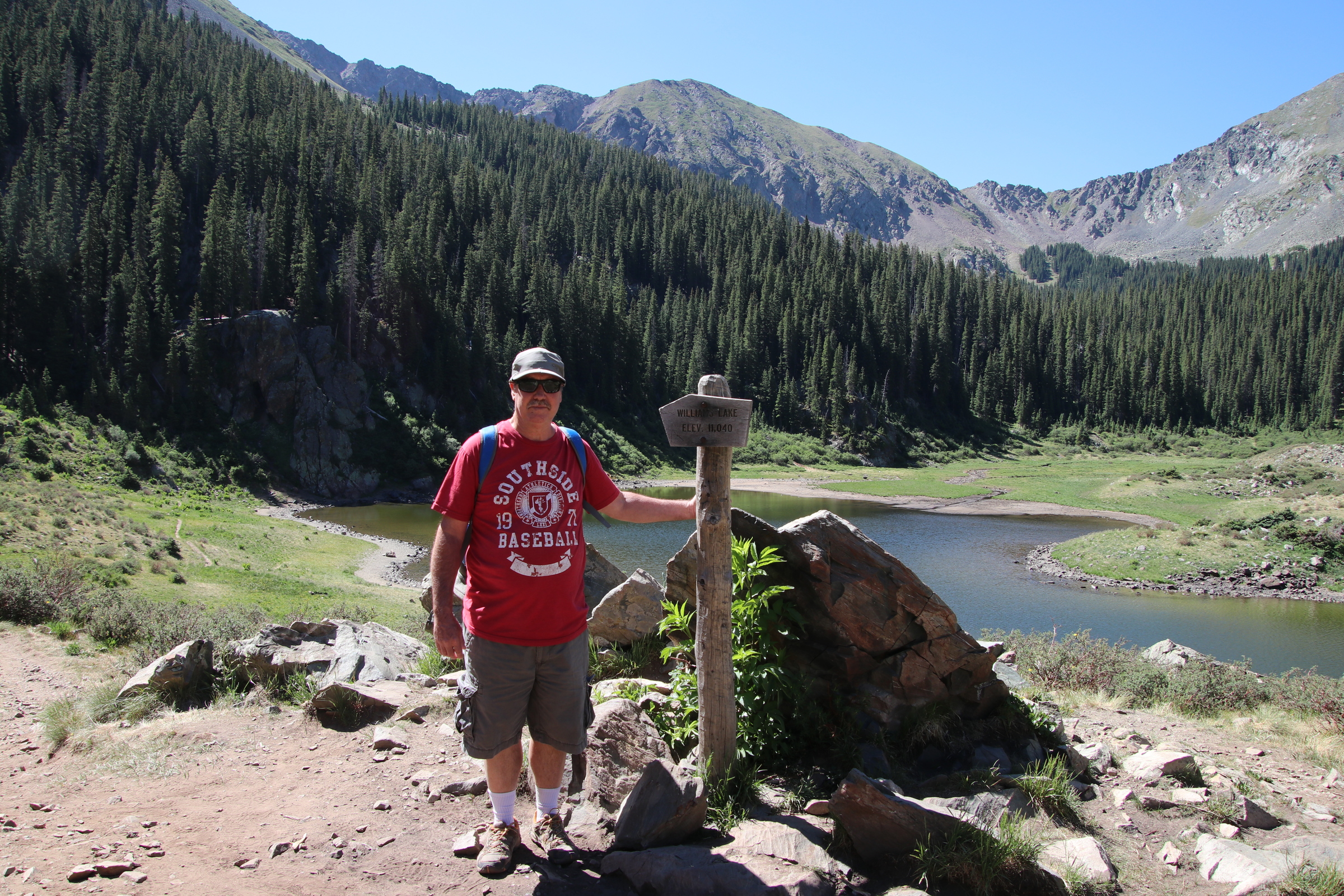
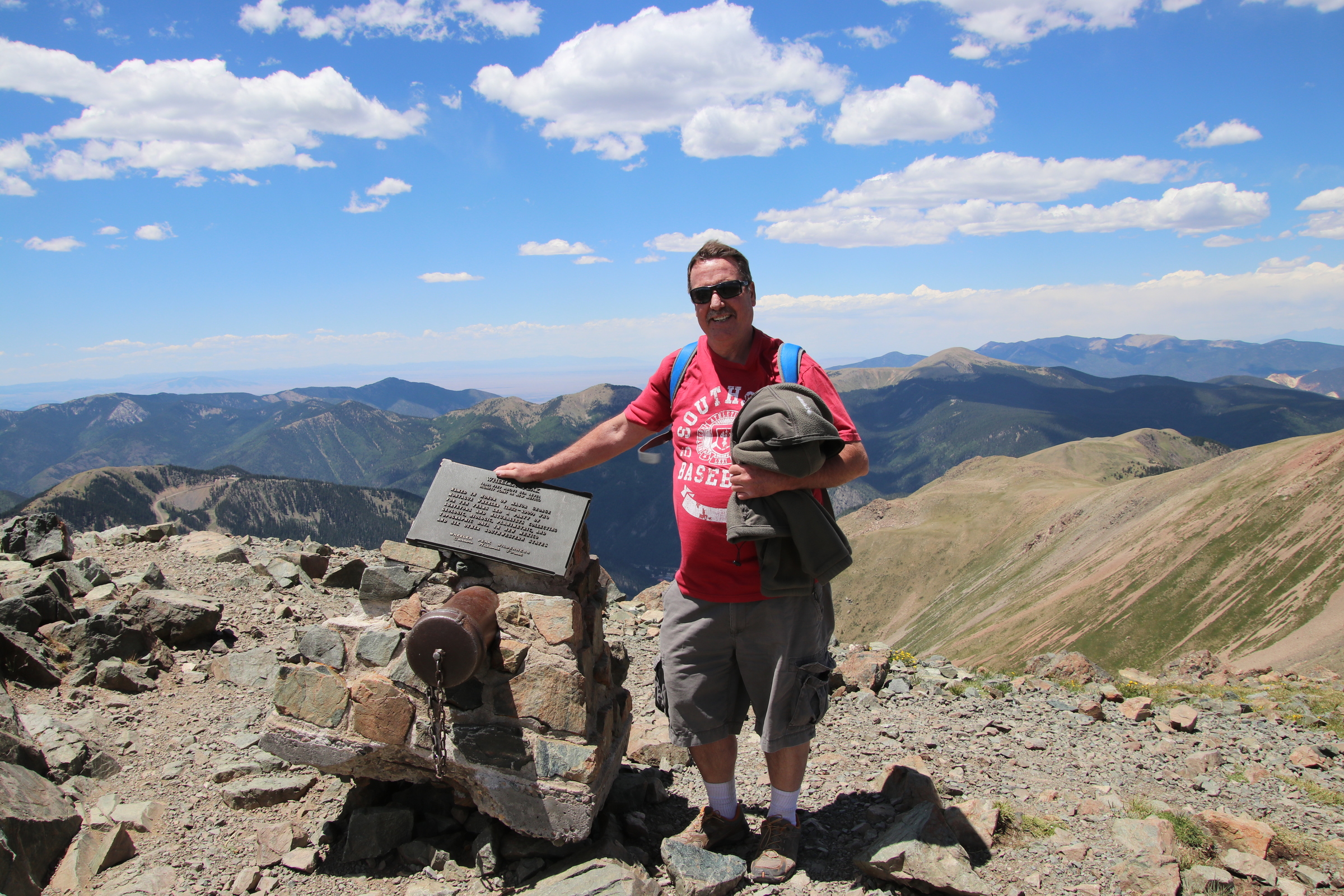
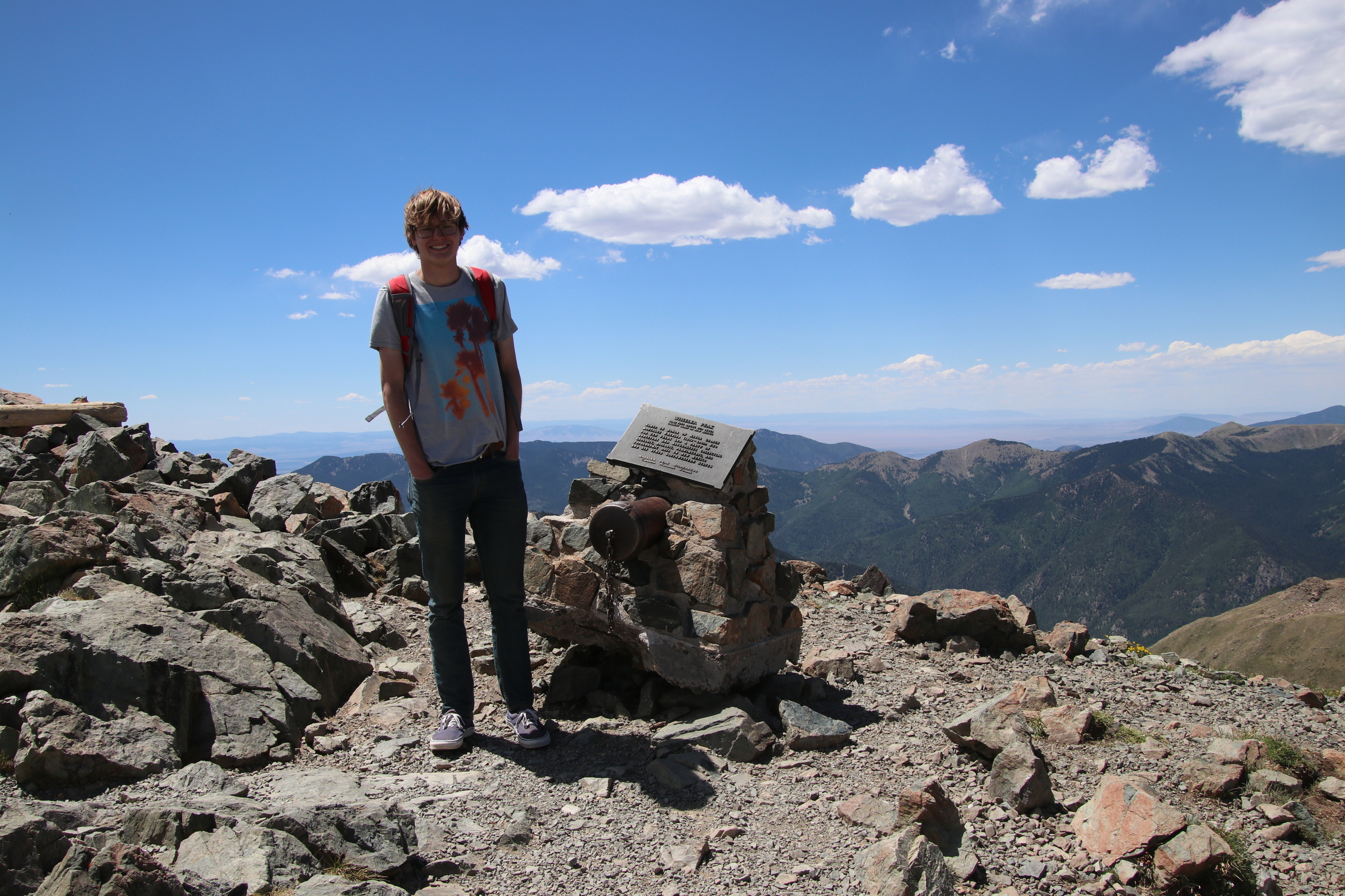
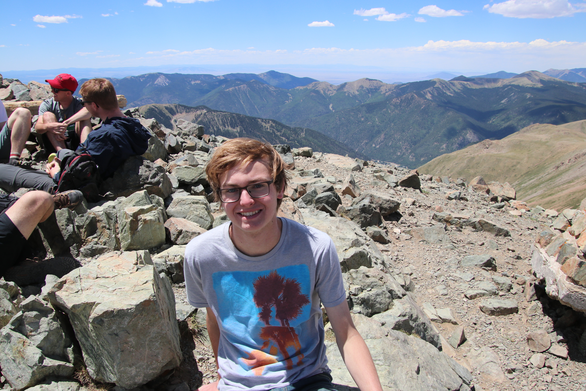
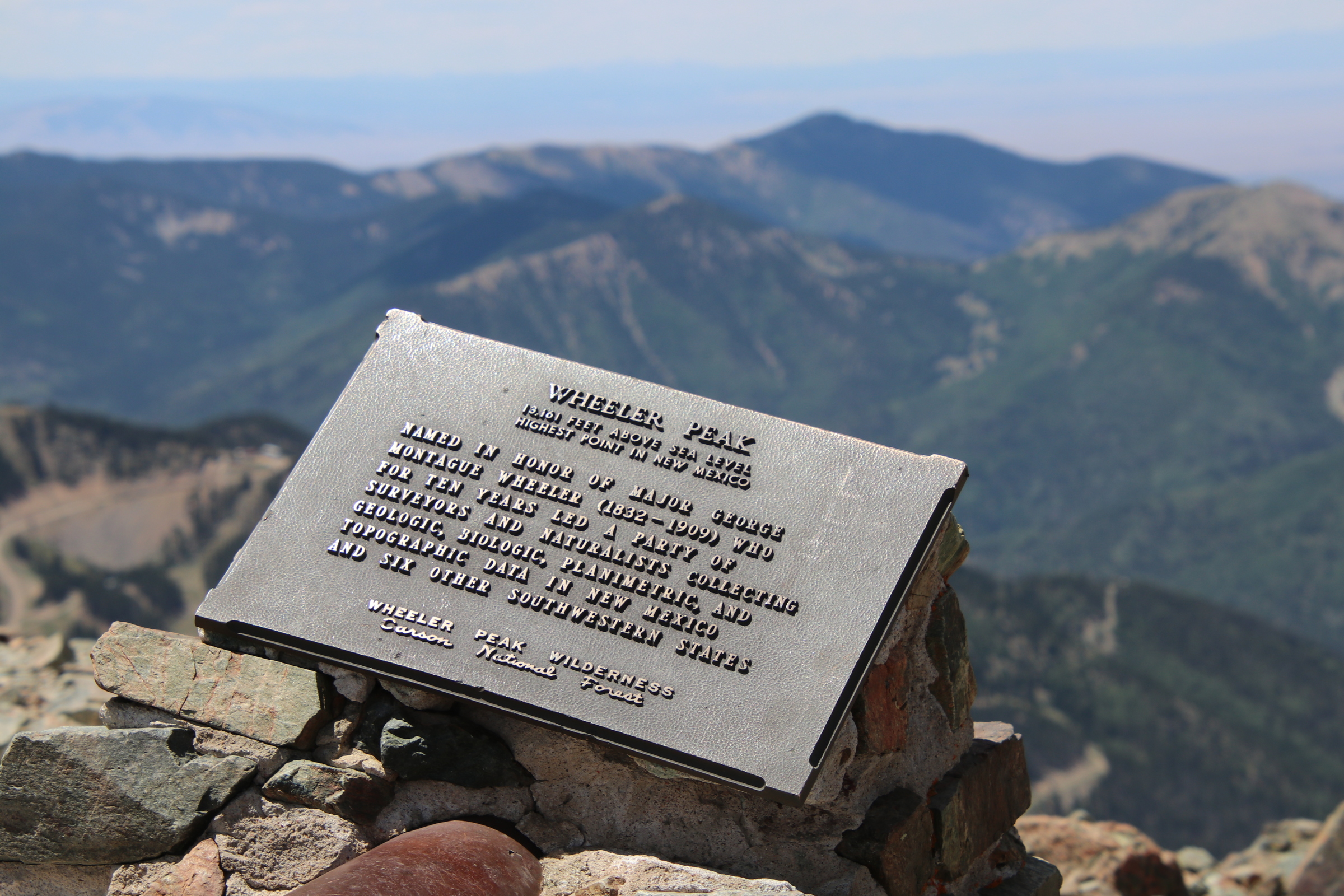
Me and Jeremiah hiked to Wheeler peak.
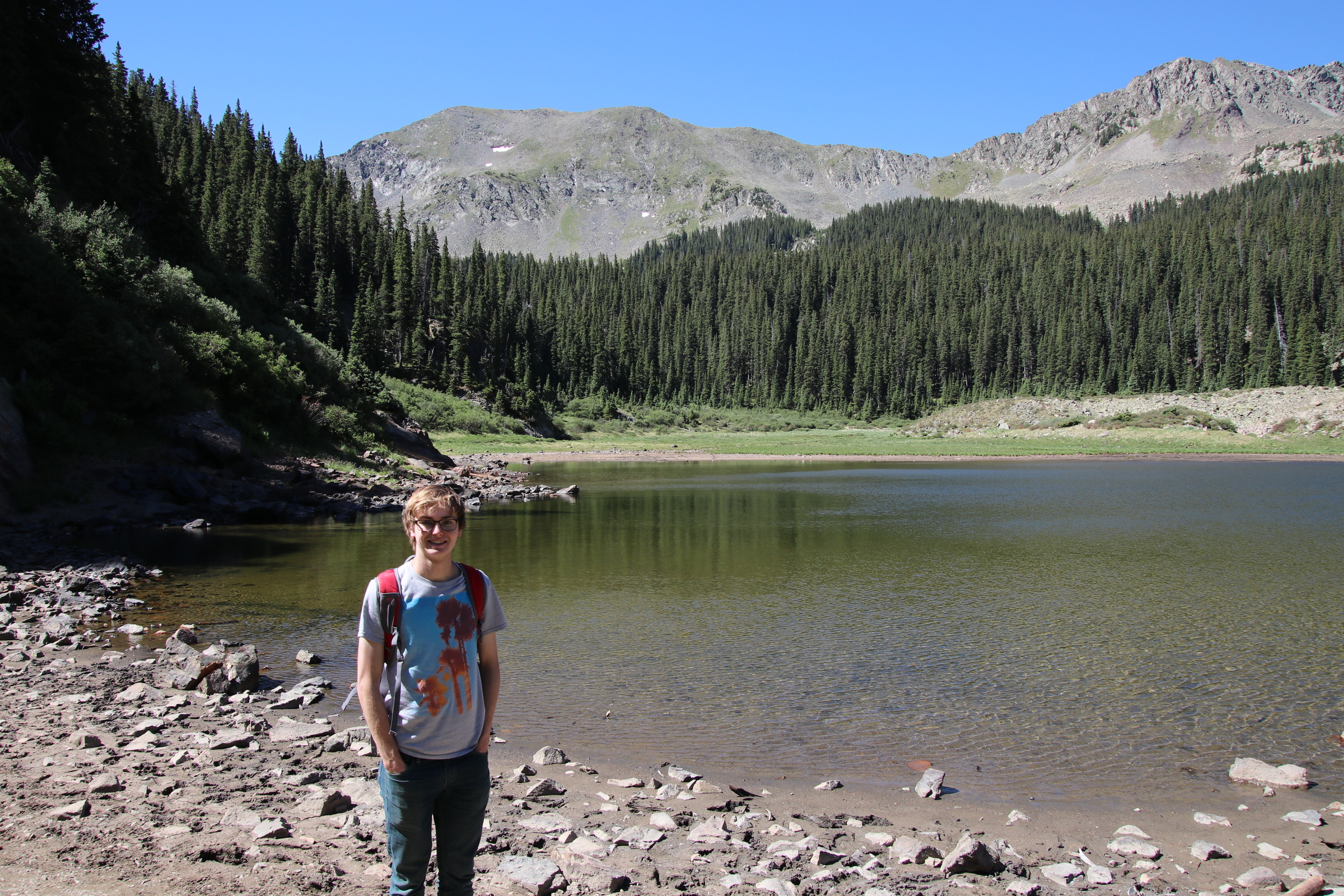
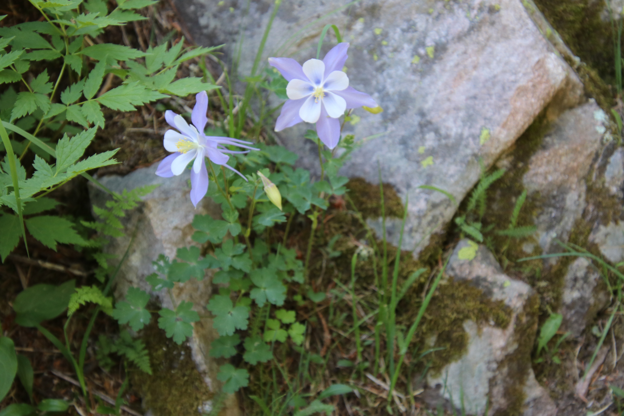
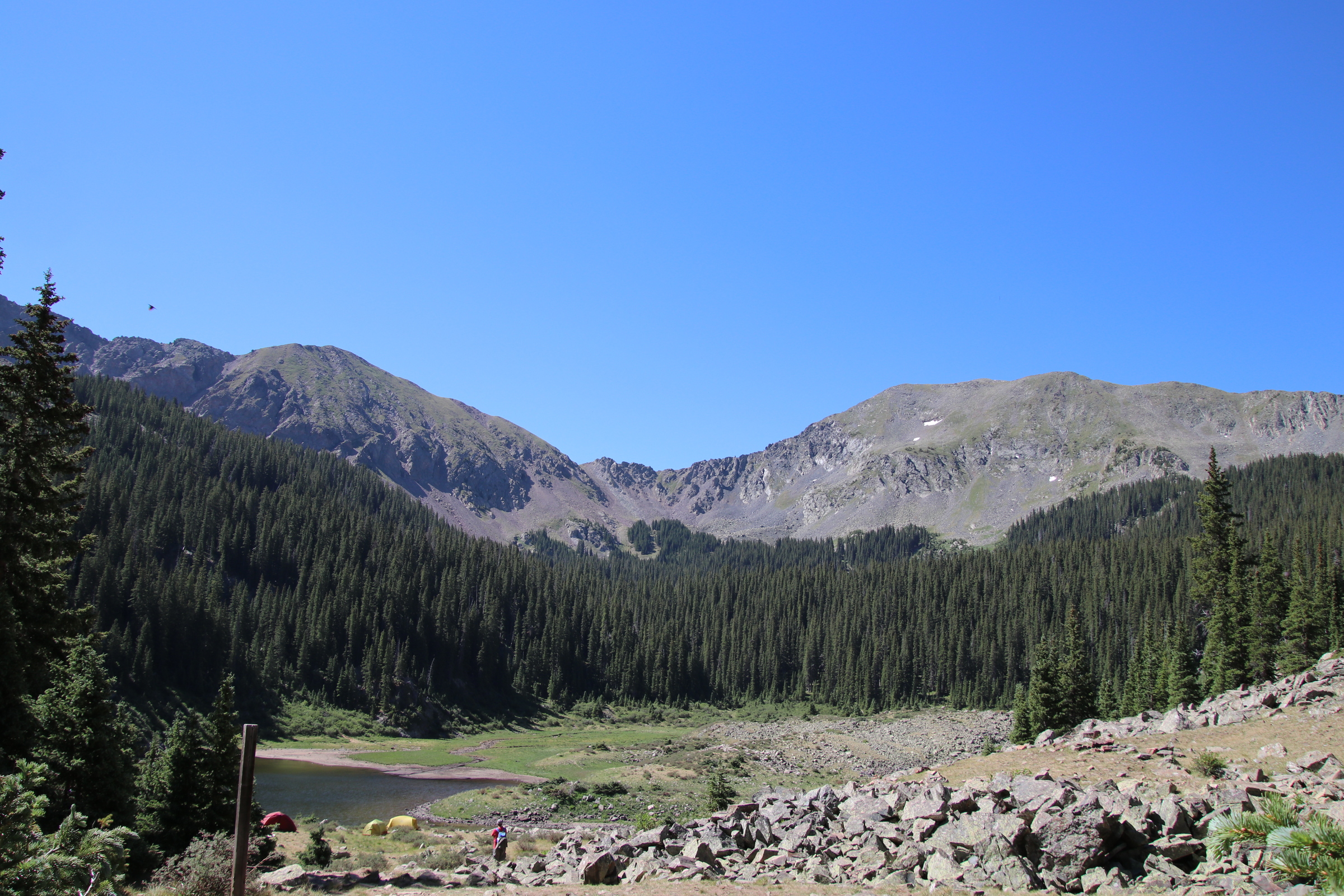
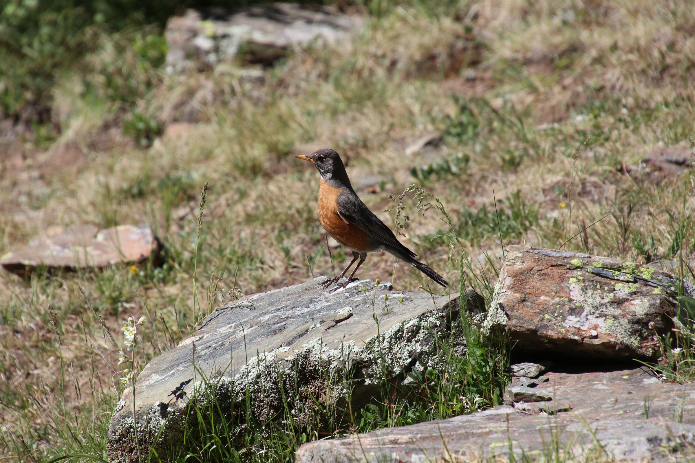
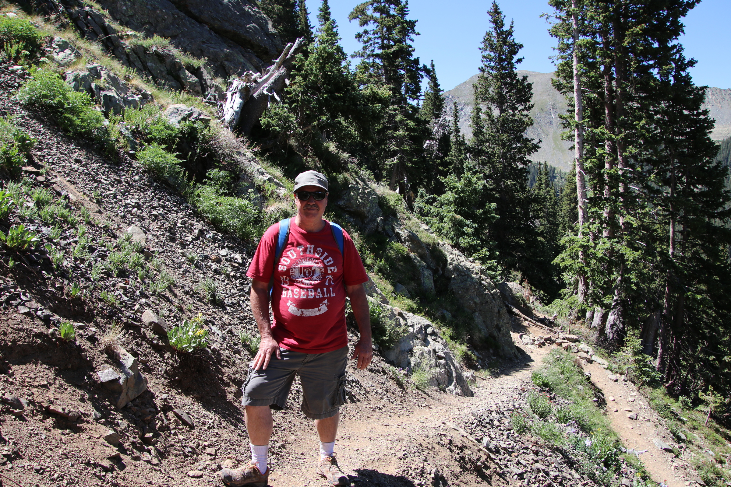
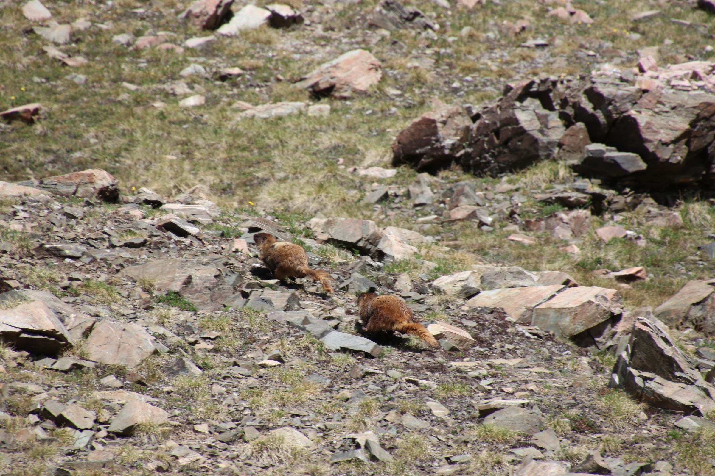
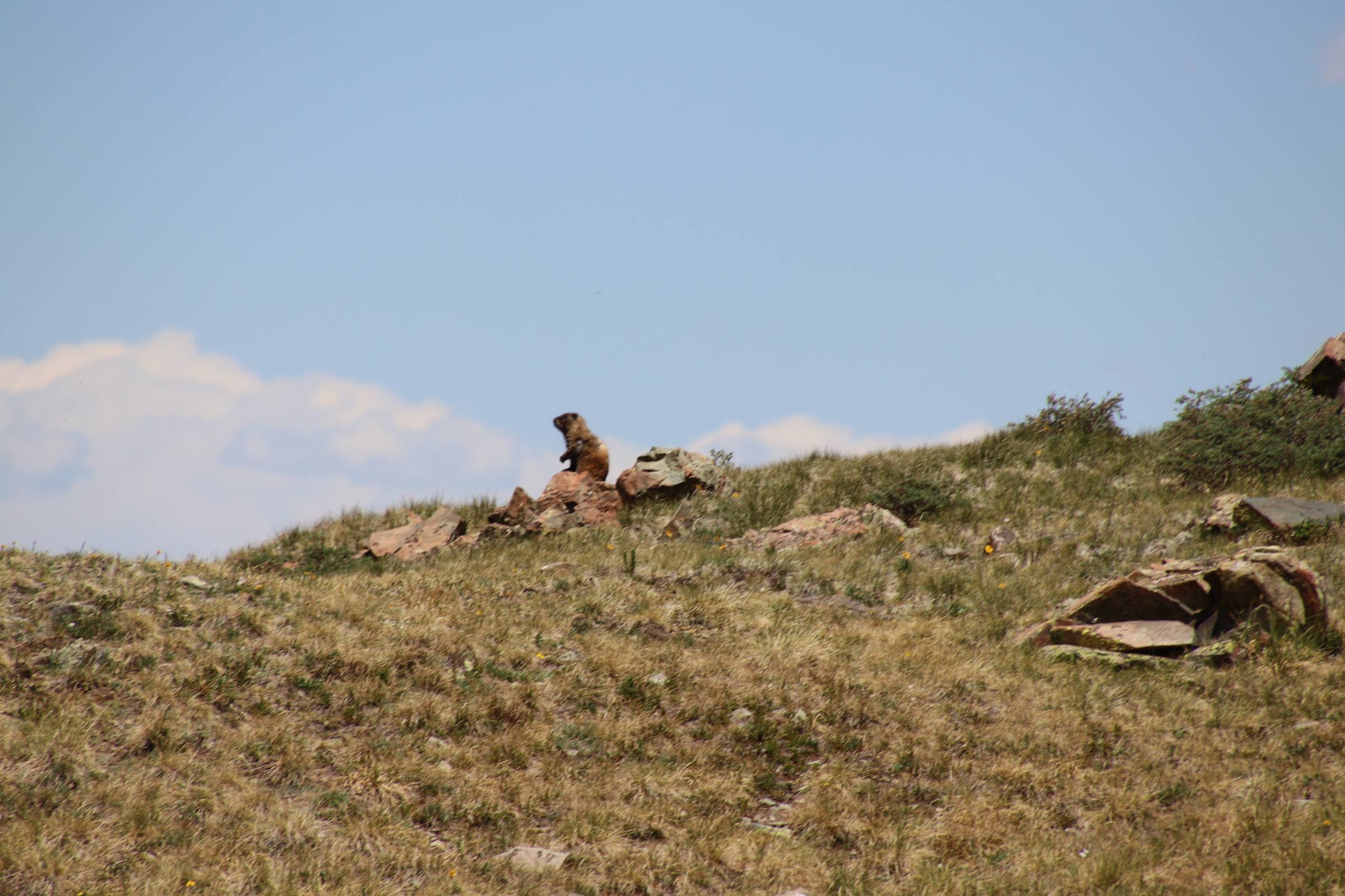
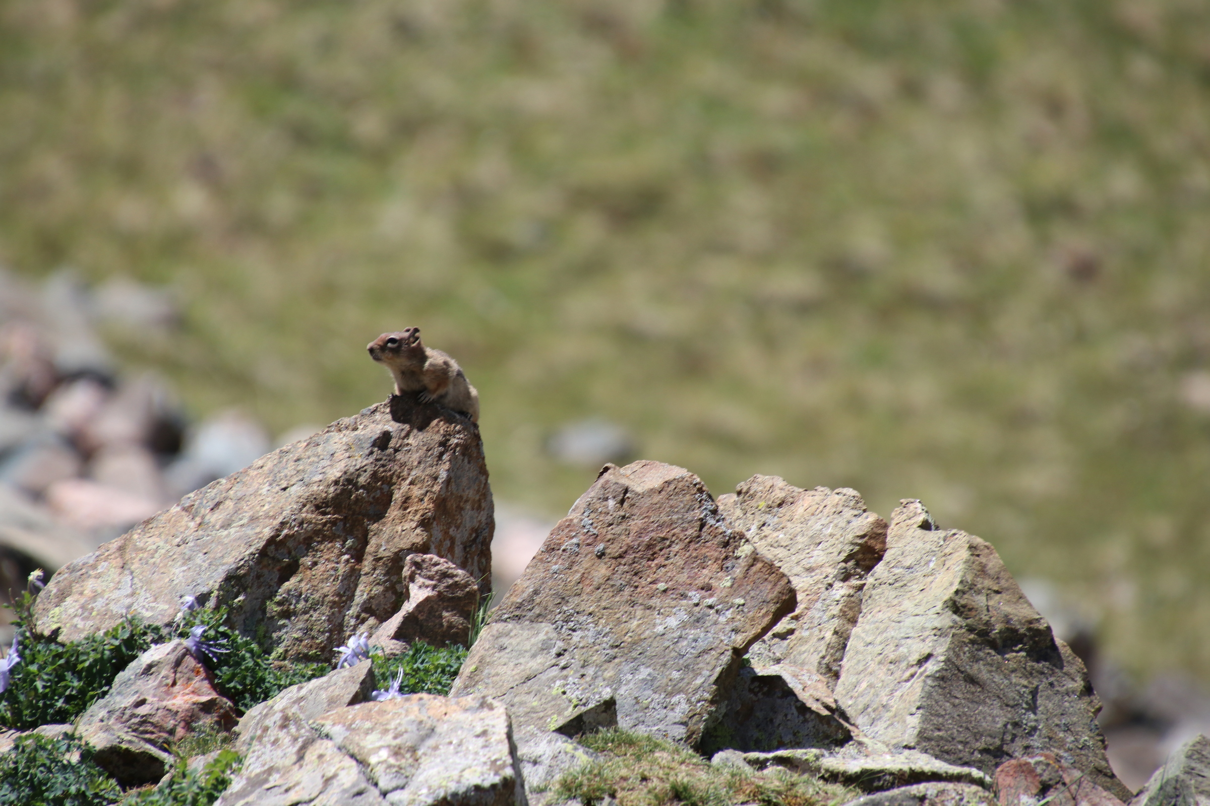
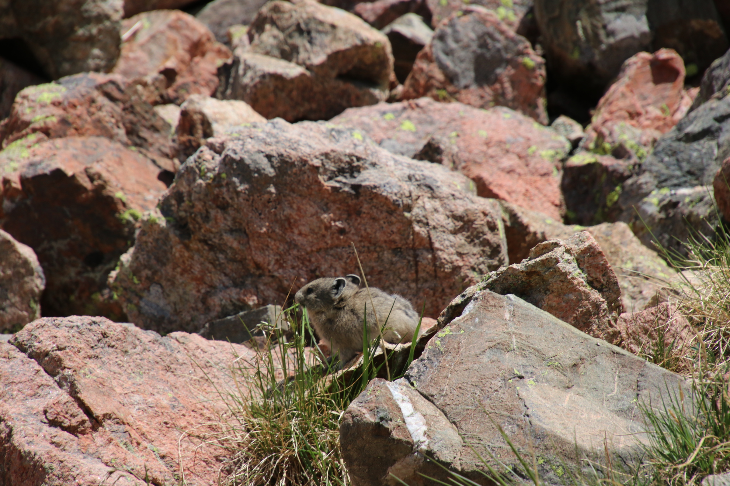
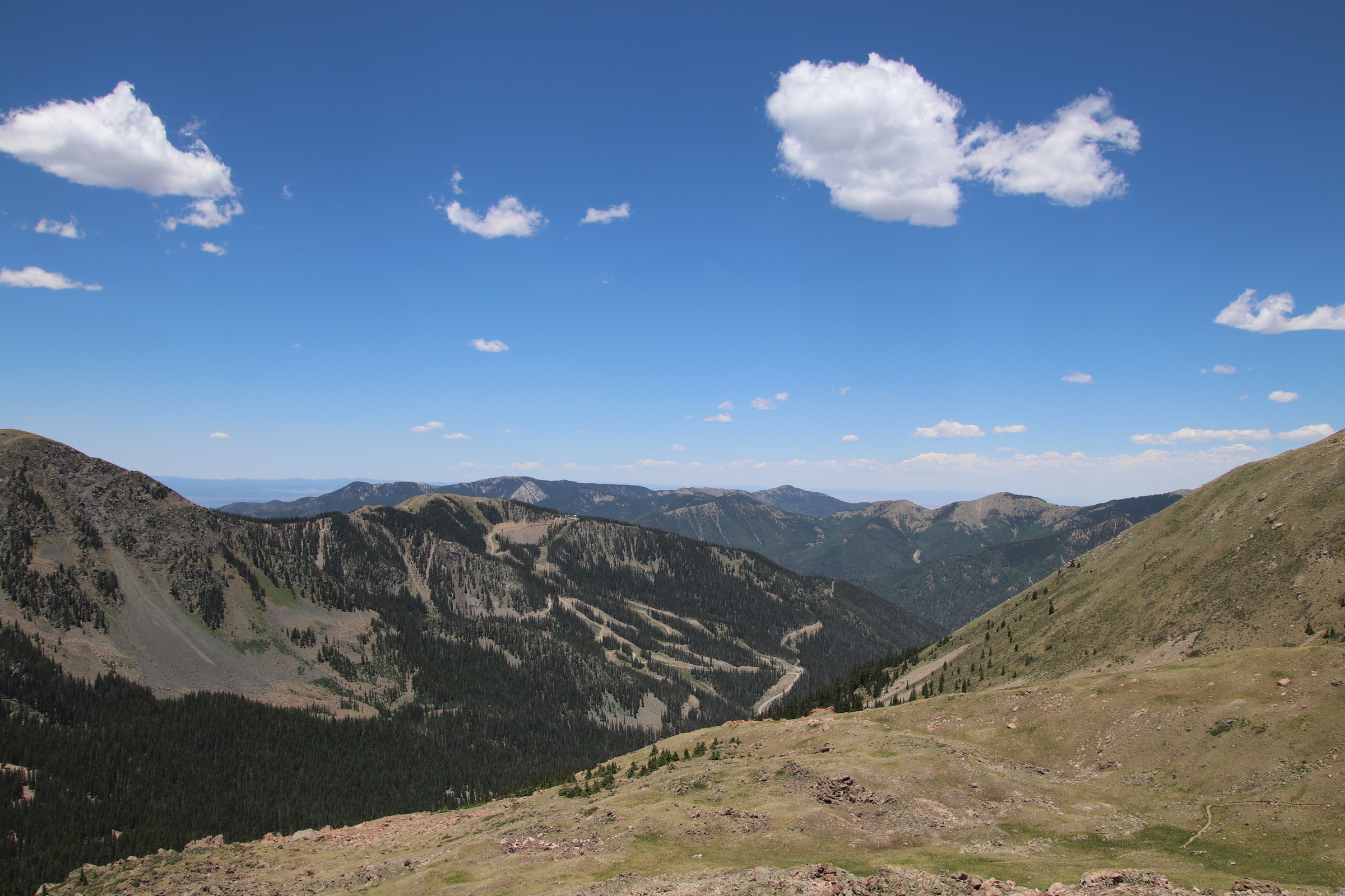
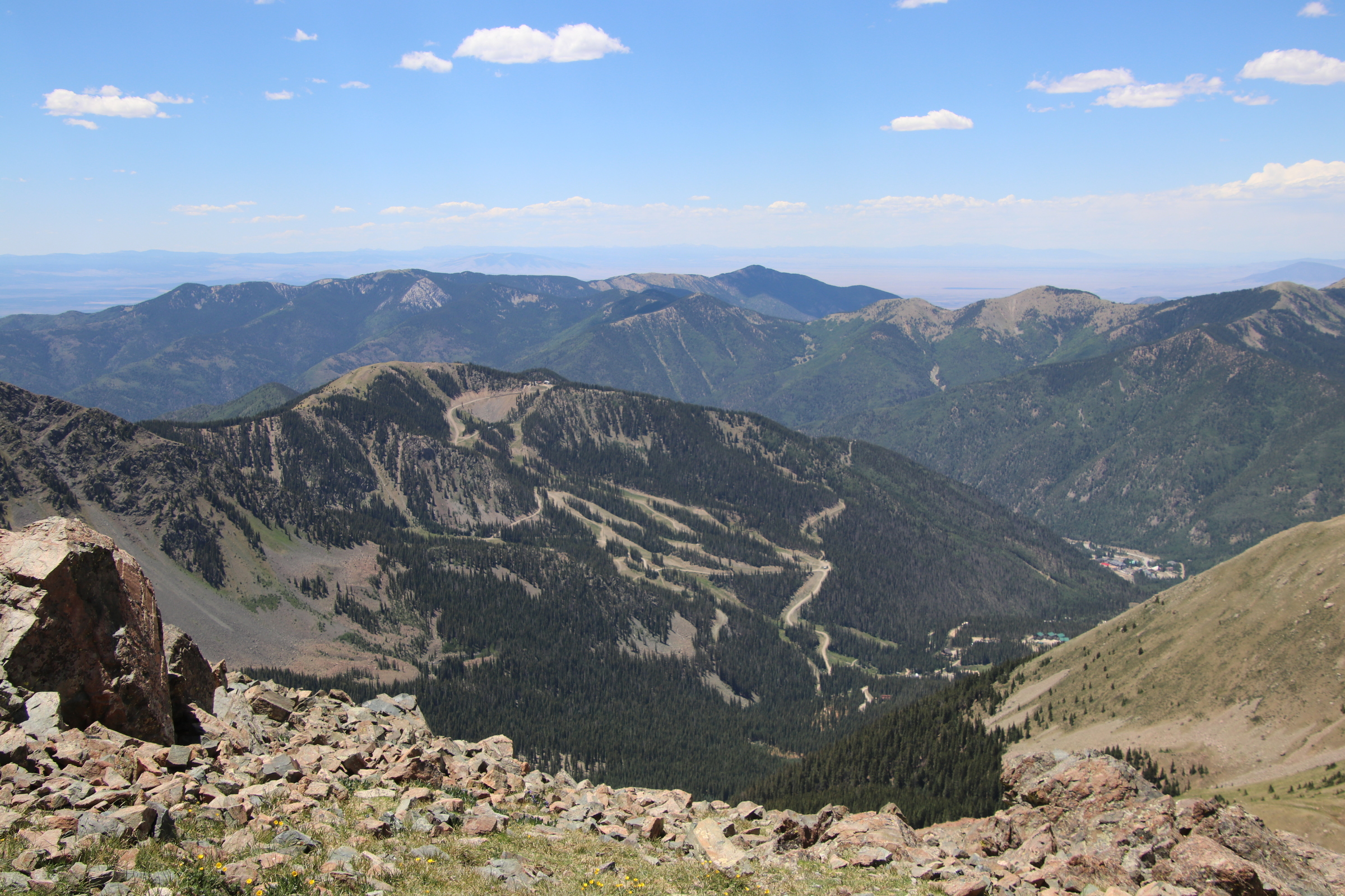
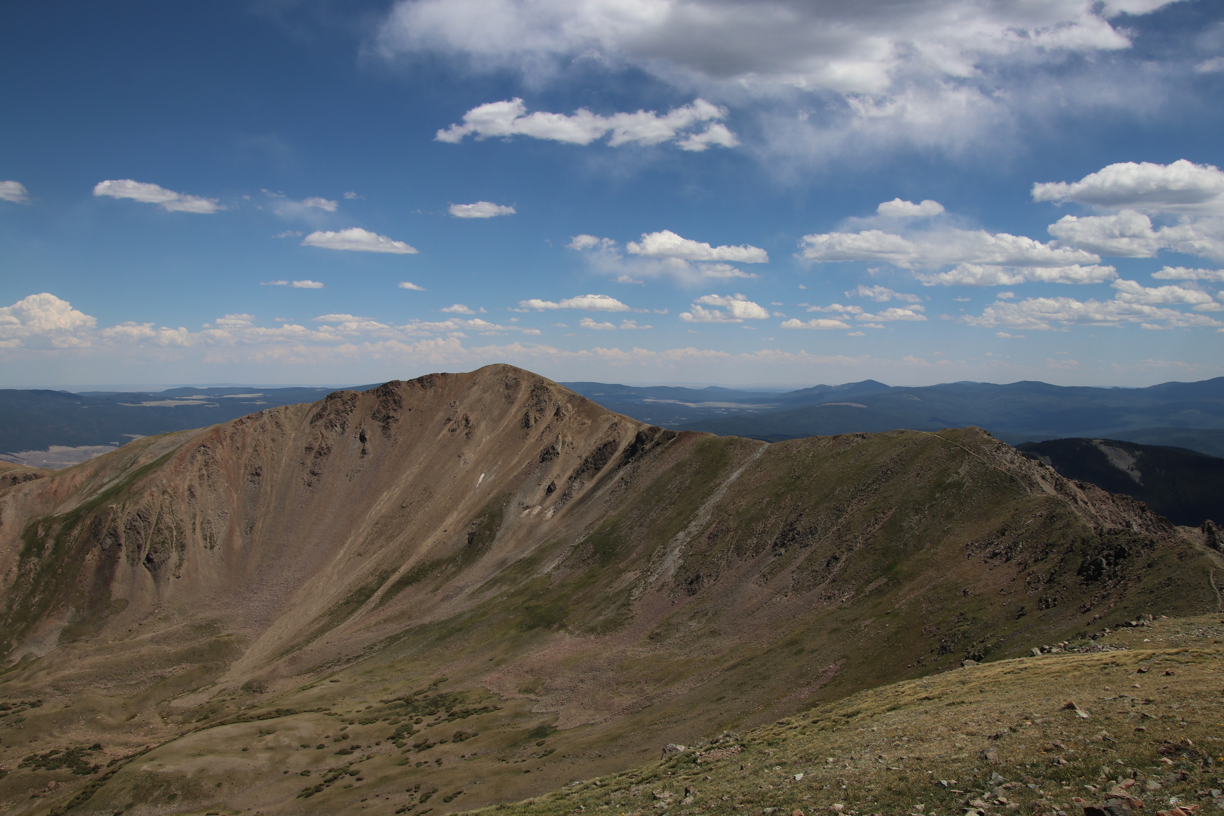
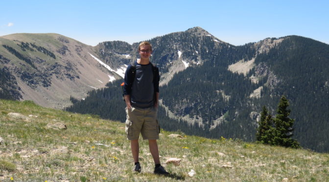
Me and Jeremiah hiked to Santa Fe Baldy