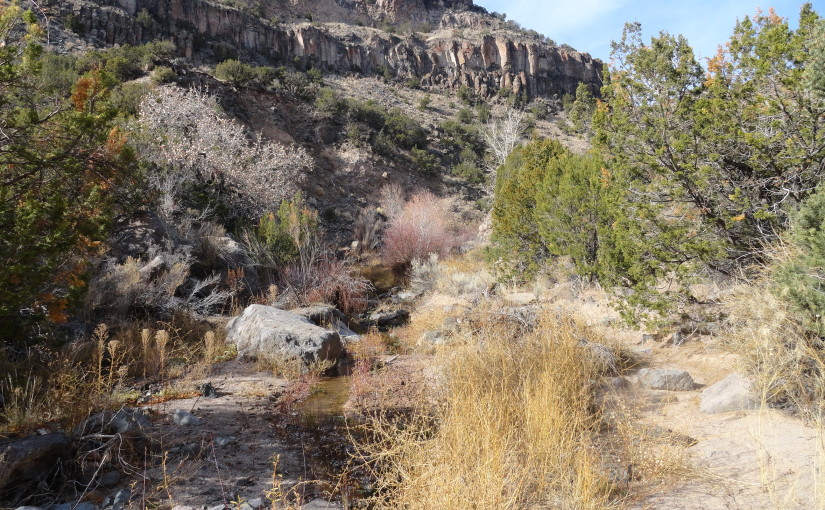
The hike to Ancho Springs begins about 4 miles west of White Rock on NM 4. Look for gate number 4 on the south side of the road. There is a small gravel parking area at the trailhead. The first part of the trail leads to some powerlines that cross the Rio Grande and White Rock Canyon. Walk south under the power lines down a broad draw and back up. After about 2 miles total, take the trail off to the right. This leads to the rim of Ancho Canyon.
The hike into the canyon begins at an old fence. Follow the fence to the right to find the trail. The upper trail begins in the Bandelier tuft. This rock is quite friable, and forms gravel that makes a smooth, yet somewhat loose surface. The descent isn’t too steep, and the footing is less strenuous than that of the Red Dot or Blue Dot trails that begin in blocks of basalt.
Following many switchbacks, the trail descends down to Ancho Springs. This is a good place to stop and rest before continuing down to the Rio Grande and the rapids. Make a point to mark the point where the trail intersects the springs, since this can be somewhat difficult to find on the hike back. The best way to hike down to the rapids is to stay close to the stream bed. This leads to the sandy Ancho flats and the bank of the Rio Grande. There you will find Ancho Rapids. The rapids look to be class 2 in difficulty. They would be fun to take in a kayak or canoe. I’m thinking you might be able to put in at Buckman and take out at Cochiti reservoir.
Explore the area around the rapids. The sandy point bar allows access down to the water. Trails along the river probably extend to Water Canyon to the east and maybe Frijoles Canyon to the west. But that’s for another day. This time, I just hiked back out the same way I came. The total time was probably about 4 hours total.
-
- Sangre de Cristos
-
- Sangre de Cristos
-
- Sangre de Cristos from the Powerline Trail
-
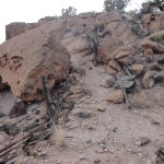
- Beginning of Ancho Canyon Trail
-
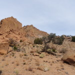
- Bandelier Tuft
-
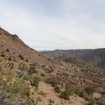
- About half way down the trail
-
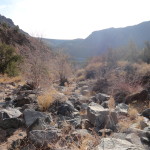
- Ancho Springs
-
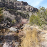
- Ancho Springs
-
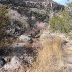
- Ancho Springs
-
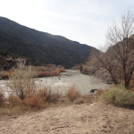
- The Rio Grande Ancho Rapids
-
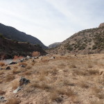
- Ancho Rapids
-
- Ancho Rapids
-
- Ancho Flats
-
- Rio Grande
-
- Ancho Flats
-
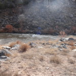
- Ancho Rapids
-
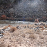
- Ancho Rapids
Hi, this is a comment.
To delete a comment, just log in and view the post's comments. There you will have the option to edit or delete them.